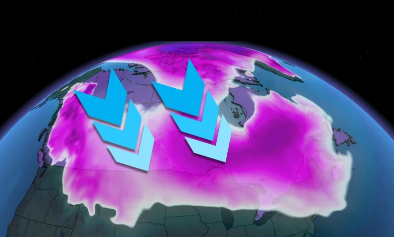
Arctic air kicks off significant lake-effect snow
The surge of Arctic air will continue spreading east through the second half of the week as the core of the trough sets up shop over Hudson Bay.
We can expect to see the cold temperatures reach all the way to the Atlantic coast. Temperatures won’t be the only headline with this Arctic outbreak.
Frosty winds blowing across the relatively warm Great Lakes is the perfect setup for a potentially significant multi-day lake-effect snow event. While it’s far too early for specifics, disruptive snowfall is possible across the region’s traditional snowbelt communities.
U.S. holiday travel may be affected by a high-impact storm
We’ll watch below-seasonal conditions spread all the way to the Gulf of Mexico as the jet stream sags south of the border.
A significant storm is expected to develop over the central U.S. by the middle of next week and continue pushing east over the next couple of days.
In addition to potential impacts across Eastern Canada, anyone travelling for American Thanksgiving on Thursday, Nov. 27, should keep a close eye on the forecast for possible disruptions.
Stay with The Weather Network for all the latest on conditions across Canada