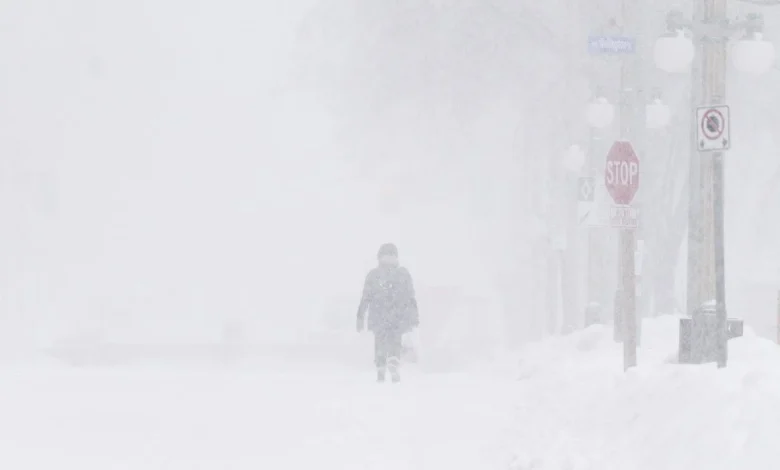
An impending storm brewing on the northern part of Lake Superior is prompting weather alerts in Waterloo Region.
Environment Canada issued a snow squall watch with total snowfall amounts ranging from 30 to 50 centimetres, for the region, but local amounts may vary. The weather agency notes that it’s expected to start snowing Thursday morning to Saturday.
In addition, a special weather statement is in place for strong wind gusts, which could reach speeds of 70 to 80 km/h.
“Local utility outages are possible. High-sided vehicles will be pushed around by the wind. Loose objects may be tossed by the wind,” the statement reads.
The wind is expected to start on Wednesday evening and carry through to Friday.
Alberta clipper merges with low-pressure
Natasha Ramsahai, Chief Meteorologist for CityNews, said that a wobbly polar vortex coming across from the Prairies, merging with an Alberta clipper, is to blame. The low-pressure system is expected to impact communities across northern and southern Ontario.
Winter weather depends on a weak or disrupted polar vortex, she said. In this case, the disruption will mainly be due to something called an “SSW” or “sudden stratospheric warming,” which will weaken the “wind wall.”
“While spills of cold air at this time of year are not unusual, the ‘SSW’ event that will cause it is early for this time of year, happening only a couple of times this early in the season in the past 70 years,” Ramsahai explained.
The current La Niña is also playing a role in this shift to cold weather. The CityNews winter outlook released earlier this month maintains that the first half of winter will be cold across the Great Lakes, while the second half in early 2026 looks to be milder.
With files from CityNews’ Lucas Casaletto.
Snow squalls return starting Thursday. (Graphic: CityNews)