A winter storm is expected to move through Minnesota ahead of Thanksgiving, leaving behind what will likely be the Twin Cities’ first measurable snowfall of the season by Wednesday morning. Areas to the north could get far more.
The first wave of a two-part storm arrived Monday evening, bringing rain. The latter half of a second wave Tuesday will likely bring rain in the south and snow up north. A NEXT Weather Alert is in effect and will stretch until Wednesday.
The storm system has shifted south, bringing higher potential snowfall totals to the Twin Cities area.
By Wednesday morning, there could be up to 5 inches of snow on the ground in the Twin Cities area. There could be more accumulation to the north and west, with areas like Plymouth, Andover and Forest Lake seeing up to 8 inches of snow.
WCCO
But the highest snow totals will likely be in central and northern Minnesota.
Areas like St. Cloud and Brainerd could see 5 to 8 inches of snow, while Hinckley could see 8 and 12 inches of snow, according to NEXT Weather Meteorologist Joseph Dames.
WCCO
Areas to the south of the Twin Cities — such as Mankato and Rochester — will see less, likely 1 to 3 inches of snow.
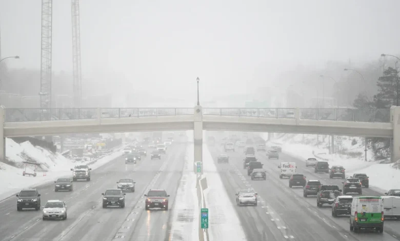
That snow will likely impact Thanksgiving travel in the morning. With strong wind gusts — between 30 mph and 40 mph — visibility on the roads will likely be low.
“If you’re going to be out on the roads, take it easy. Give yourself some extra time. Stay safe,” said Del Rosso.
The southwest corner of Minnesota likely won’t see much accumulation, though models vary and could change with time.
Adam Del Rosso
contributed to this report.