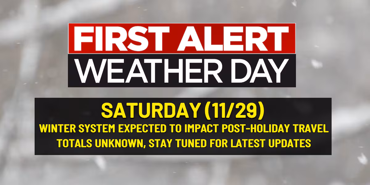
FORT WAYNE, Ind. (WPTA) – A First Alert Weather Day has been issued for Saturday due to the threat of post-holiday travel impacts. There are still plenty of question remarks regarding exact local impacts, but flight delays and regional travel issues are possible.
Models are starting to see some agreement in placement and timing, with Saturday afternoon looking like the start time as of right now. Of course, there is plenty of time to change, but both models also have snow changing to a cold rain by Sunday morning, which would help mitigate higher snow totals locally. I think the regional impacts will be greater than the local impacts, so if you are staying in the area for Thanksgiving you shouldn’t have to worry as much as those who will need to fly.
Our cold trend sets in tonight and that will be the start of seeing more winter-like weather for Thanksgiving. Lake effect snow will be possible from Wednesday morning through Black Friday, but with minimal impacts in terms of accumulations. The best chance for measurable snow will be in LaGrange and Steuben Counties. On top of snow, I want to give you the First Alert to some gusty winds expected tomorrow and Thursday. Gusts could max out as high as 45-50mph tomorrow, so make sure holiday decorations are secure, and inflatables are down, so they don’t blow away!
Copyright 2025 WPTA. All rights reserved.