Met Eireann snow forecast shows ‘2010 like big freeze’ return for Ireland as ‘twin arctic storms’ hit
There will be a massive -17C temperature swing over the next few days
14:46, 27 Nov 2025
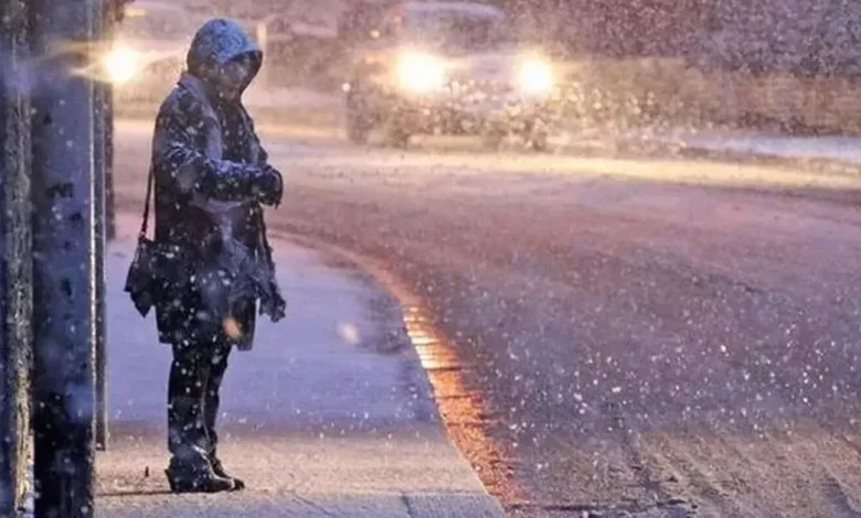
A person standing in heavy snow (stock)
As temperatures continue to drop, Met Eireann have warned of a potential freeze over the weekend.
It comes as weather experts in the UK have pinpointed December 6 as the date for when snowfall is set to commence.
Upwards of seven inches of snow are expected to fall, reports the Mirror UK.
Twin Arctic storms are also expected to make their way across Ireland and the UK.
Maps for December 5 show light snow coming down in Northern Ireland at around midday, with heavy snow hitting Ireland – Dublin in particular.
Meanwhile, Met Eireann have placed Yellow Wind Warnings on Donegal and Mayo from 4PM today until 6Am on Friday.
The heavy winds come ahead of what is expected to be a freeze over the weekend.
Friday
Friday, will be a blustery, windy day with widespread showers, turning heavy at times with a possibility of hail and isolated thunderstorms.
There’ll be some sunny spells mixed in too, although it will turn mostly cloudy in the west and northwest in the afternoon with the showers merging to longer spells of rain there.
Colder than previous days with highest temperatures of 7 to 10 degrees in moderate to fresh, occasionally strong, and gusty, southwest winds, with gales on coasts.
Saturday
Variable cloud, sunny spells and scattered showers, turning heavy at times, with hail and isolated thunderstorms possible. Rather cold with highest temperatures of just 5 to 8 degrees.
Light variable winds will become light to moderate north to northwest as the day goes on, possibly fresher for a time in the southwest.
There’ll be a few scattered showers in parts of the west and north on Saturday night, but it’ll be dry and clear in many areas. A cold night with some frost and icy patches possible as winds fall light westerly or variable, with temperatures dropping to between -2 and +2 degrees.
Sunday
Cold and frosty to begin on Sunday, with some sunshine for a time, especially further east. However, it’ll turn cloudier from the west, with rain and drizzle gradually spreading eastwards. Afternoon highs of 4 to 8 degrees in mainly light southerly winds, increasing moderate later. Mostly cloudy and damp with outbreaks of rain and drizzle on Sunday night. Lowest temperatures of 2 to 6 degrees, coldest early on in the night but becoming milder overnight, in light to moderate southerly winds.
Galway Beo’s top stories and breaking news service on WhatsApp.
Click this link to receive breaking news and the latest headlines direct to your phone.
We also treat our community members to special offers, promotions, and adverts from us and our partners. If you don’t like our community, you can check out any time you like. If you’re curious, you can read our Privacy Notice.