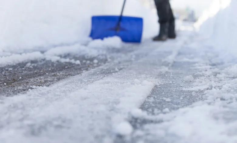
The city is kicking off December with a wintry mix, with flurries, snow, and chilly wind chills in the forecast to begin the week.
On Monday, Toronto residents woke to a mix of sun and cloud with a 30 per cent chance of flurries early in the morning. Northwest winds near 20 km/h, gusting up to 40, eased by midday. Temperatures are expected to reach a high of -1°C, though the wind chill made it feel closer to -12°C in the morning and -3 °C by the afternoon.
By Monday night, skies will turn cloudy with periods of snow beginning near midnight. Between 2 and 4 centimetres of accumulation is possible, with winds up to 15 km/h. The overnight low will dip to -5°C, with wind chills near -11°C.
Tuesday will bring lingering snow through the morning before conditions turn cloudy. Winds will stay light, up to 15 km/h, with a daytime high of 1°C.
The morning wind chill will make it feel closer to -8°C. Skies are expected to clear Tuesday night, with temperatures falling again to -5°C.
Another blast of winter weather hits already snow-covered parts of Ontario
Wintry weather continued to hammer southern Ontario on Sunday, with snowfall warnings in place for much of the region, as Hydro One reported that several hundred customers were without power across the province.
A new low-pressure system tracking north from the eastern U.S. is set to deliver a fresh round of snow overnight. Southwestern Ontario will be the first to see flakes, with light snow spreading from Windsor along the Lake Erie shoreline and into Niagara, Hamilton, and the western Greater Toronto Area (GTA).
Farther north, lake-effect snow bands are expected to remain active, creating hazardous conditions along major routes. Highways 69 and 11 between Parry Sound, Sudbury, and North Bay could see the heaviest impacts, with persistent squalls capable of dropping 20 to 50 cm of snow in localized areas.
Click here to sign up for the CityNews Weather Guarantee and to check out Toronto’s extended forecast.