The first real blizzard of the season is on its way.
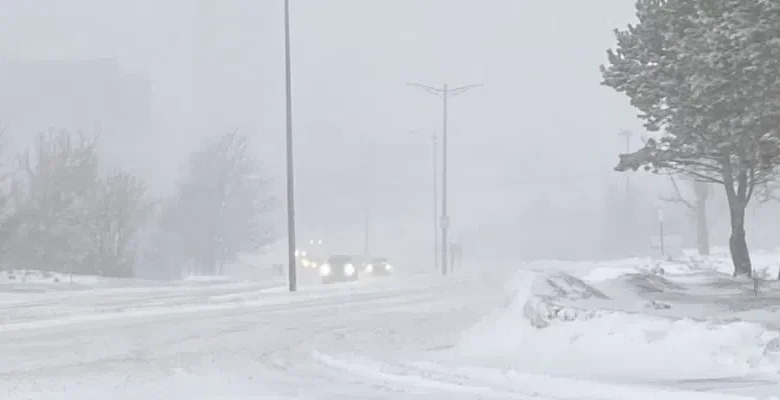
Special weather statements are in effect for most areas of the island except the Northern Peninsula on Wednesday with heavy snow and high winds.
The storm is expected to start Wednesday morning for southwestern regions and move across the island through the day and into the evening.
Environment Canada meteorologist David Neil says snowfall amounts could range between 15 cm and up to 30 cm or more in some areas.
He says which areas will see the highest amounts will depend on the storm’s track, something they’ll have a better handle on as the storm gets closer.
Winds will gust to 100 km/h making for blustery conditions and reduced visibility.
The southern Avalon and the Burin Peninsula could see a messy mix starting with snow or ice pellets in the morning before changing over to rain and back to snow by evening.