The majority of the area will see their heaviest snow of the season so far.
We have issued a StormReady Alert Day as a result.
The snow will begin to develop in spots Saturday afternoon.
It will grow heavier and more widespread Saturday evening.
This is when the travel conditions will begin to get worse.
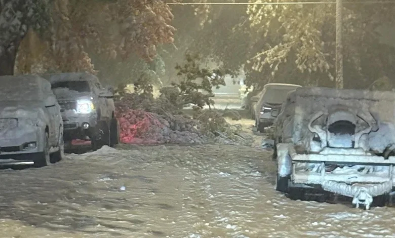
Everything will be snow covered overnight and Sunday AM. This includes every road that has not been plowed.
It is recommended that you do not travel unless absolutely necessary.
Travel will still be impacted Sunday PM, but the snow will be winding down and ending.
It will take time for the road crews to get the roads back in working order.
This could lead to additional impacts, especially on the secondary roads, Sunday night and Monday AM in the hardest hit areas.
School closings are possible on Monday.
Winds will also increase on Sunday, making it feel even colder as you are clearing your own snow.
Some gusts will be up to 30 mph.
However, due to the heavier nature of the snow, blowing and drifting snow will be kept to a minimum.
It will be great snow for sledding and for building a snowman!
This type of snow also puts more strain on your body as you clear it.
Take it slow and take breaks so that you do not put yourself at increased risk.
Snowfall amounts of 5″-8″ are expected around US-127 and US-23 to I-75.
A few locations around US-127 may see totals that are a bit higher.
East of here, snowfall amounts will go down to 3″-7″, with the lowest happening in the Thumb.
A few spots in the dark blue may overachieve and see higher amounts than 7″, but that chance is small.
Stay tuned for updates on-air and online as we get closer to the event beginning!