FIRST ALERT WEATHER DAY – LATE TODAY INTO EARLY TOMORROW
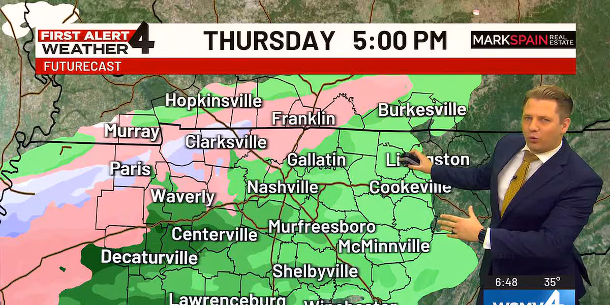
We’re closely monitoring a storm system that will move in the Midstate late today and overnight. Precipitation will begin for most as patchy light rain around dinner time (5-7 pm). However, for some, especially for those north of I-40, a light mix of snow, freezing rain, and sleet will be possible.
Tricky travel conditions could develop in some areas Thursday night as a result of this storm and linger into early Friday. While any accumulation will be light and patchy, remember that it doesn’t take more than a few hundredths of an inch of freezing rain/ice buildup to cause problems on bridges, overpasses, roads, and front porches, among other areas.
Expect the chilly weather to stick around the Midstate.
TODAY’S FORECAST
MORNING – Mostly cloudy, cold start. Temperatures near 30
AFTERNOON – Cloudy and chilly. Highs in the low 40s
EVENING – Cloudy with showers, but some mixing possible north of I-40
FRIDAY’S FORECAST
MORNING – Mostly cloudy. Shower early. Temperatures near freezing
AFTERNOON – Mostly cloudy. Temperatures in the mid-40s
EVENING – Mostly cloudy. Lows in the 30s.
WEEKEND FORECAST
We’re watching another storm system that will try and form near the Midstate this weekend, but right now confidence remains low that we’ll see any precipitation around here. The best day for a passing rain shower right now will be Sunday.
Saturday and Sunday highs will get back into the low 50s with stubborn cloud cover both days.
Stay with us on WSMV 4 as we continue to monitor any potential weekend changes.
NEXT WEEK
Our weather remains uneventful early next week with highs back in the 40s.
Copyright 2025 WSMV. All rights reserved.