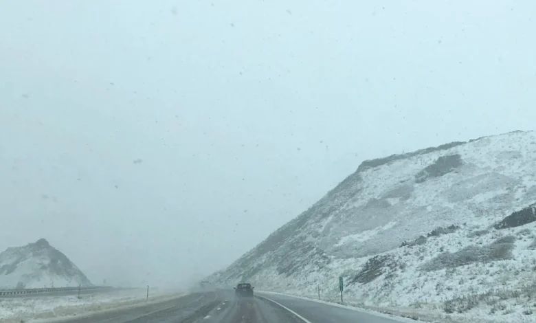
Snow will move into northwest Montana early today and spread south this afternoon. Cold air trapped in the valleys means precipitation may start as snow Thursday, then transition to a wintry mix Friday into Saturday. Snow amounts in lower elevations remain uncertain, but we could see up to an inch or two Friday. There is a small chance for freezing rain Friday and Saturday mornings in the western Montana valleys. Mountains are on track to receive significant snowfall, with a Winter Storm Watch Friday and Saturday.
This unsettled winter pattern will hold through the weekend and likely continue into next week as Pacific moisture keeps feeding into the Northern Rockies. Winter has officially settled in.
____________________
WINTER STORM WARNING is in effect from 11 AM this morning until 5 AM Saturday for the Big Belt, Bridger and Castle Mountains; Little Belt and Highwood Mountains; and Gallatin and Madison County Mountains and Centennial Mountains, including Maudlow, Bozeman Pass, Deep Creek Pass, Raynolds Pass, Targhee Pass, Kings Hill Pass, Battle Ridge Pass, Big Sky, West Yellowstone, Trident, Monarch, and Neihart,. Snowfall totals of 4 to 8 inches at pass level through tonight with an additional 5 to 12 inches at and above pass level Friday and Saturday. Total snow accumulations between 10 and 20 inches. Winds gusting as high as 40 mph.
WINTER STORM WATCH is in effect from late Thursday night until Saturday afternoon for the East Glacier Park Region, Southern Rocky Mountain Front and Northwest Beaverhead County, including the following locations: Babb, Saint Mary, East Glacier Park, Big Hole Pass, Wisdom, Dewey, Logan Pass, Rogers Pass, Chief Joseph Pass, Wise River, Marias Pass, and Kiowa Heavy snow possible. Total snow accumulations between 6 and 12 inches possible. Winds could gust as high as 40 mph.
WINTER STORM WATCH is in effect from late Thursday night until Saturday afternoon for the West Glacier Region, Lower Clark Fork Region, Bitterroot/Sapphire Mountains, Potomac/Seeley Lake Region and Clearwater Mountains. Heavy mixed precipitation possible. There is a chance of moderate to major winter weather impacts. Total snow accumulations of 3 to 7 inches along valley bottoms, 7 to 15 inches at mountain pass level, and 24 to 36 inches along mountain crests.