- Widespread snow expected tonight
- Bright, breezy and brisk Sunday
- Numerous snow chances next week
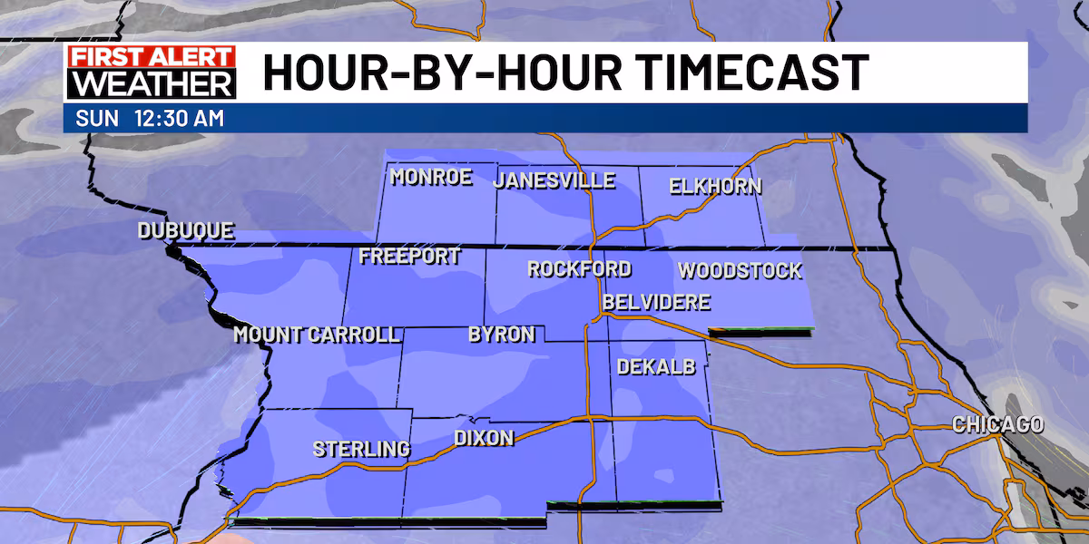
(WIFR) – Snow is starting to knock on the door of the stateline before it becomes more widespread over the next hour or two. The timing of when it will wrap up still looks to be early Sunday morning around 4 to 5 a.m.
Winter weather advisory for the region(DJ Baker)Snow starts around 9 tonight(DJ Baker)Snowfall picks up around midnight(DJ Baker)Snow will finish up by early Sunday morning(DJ Baker)
Snow totals have not changed over the past few hours with 3 to 5 inches expected.
3 to 5 inches of snow expected(DJ Baker)
Once the snow is done on Sunday, clouds will start to clear bringing sunshine back to the stateline. Even though sunshine returns, the warmth will not. The Alberta clipper will bring strong northerly winds and colder temperatures. We’ll see highs top out in the lower 20s late Sunday morning, before cooler air filters in overhead thanks to winds out of the north gusting near 25 mph. This will also keep our wind chills down into the single digits through the vast majority of the day.
Mostly sunny Sunday(DJ Baker)Strong winds Sunday(DJ Baker)Cold Sunday ahead(DJ Baker)
Sunday night is shaping up to be frigid. Lows will drop to the lower single digits as clouds build back in overhead. Winds will be near 5 to 10 mph, dropping our wind chills well into the negatives near -5 to -10 degrees.
Frigid Sunday night(DJ Baker)
Download the First Alert Weather app
Click here for Interactive Radar
What’s Coming Up…
Heading into our Monday, temperatures will be cold to start, before we warm back up into the lower 20s. We’ll be mostly cloudy throughout the day, but in the evening we have another chance for some snow. Now this chance look rather week as an upper level disturbance goes through Wisconsin. We’ll likely get only a light dusting in the late evening.
Another light snow possible Monday evening(DJ Baker)
Looking Ahead…
We’ll face numerous snow chances over the coming week as our upper level pattern is stuck in a troughing pattern. Numerous disturbances will eject from Canada and enter the Midwest. As of now, the most notable disturbance will likely come Tuesday. With temperatures back to freezing or just above, we could see some rain fall before we transition into a wintry mix by the evening. This will likely give us a bit of a slush to contend with Wednesday morning.
More snow chances next week(DJ Baker)
Temperatures will be warmer Tuesday and Wednesday before another blast of arctic air enters the region late next week.
Frigid air returns at the end of next week(DJ Baker)
Copyright 2025 WIFR. All rights reserved.