No change to the overall forecast trend.
Tonight: Mostly clear skies are expected this evening, with high clouds moving in by morning. Temperatures will fall to around freezing late tonight before slowly rising toward sunrise.
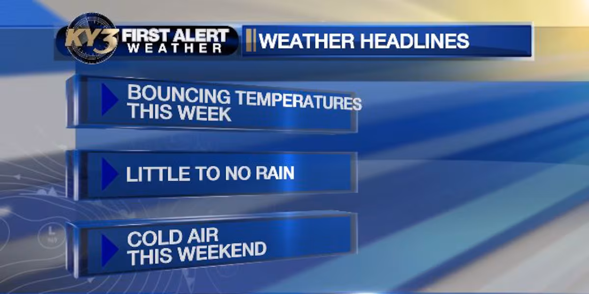
Temperatures will bounce around in this dry weather pattern.(maxuser | ky3)
Next 10 days: Little to no measurable precipitation is expected over the next ten days. Temperatures will fluctuate and remain uncertain beyond the three-day horizon.
A fast moving jet stream will usher in warm and cold air masses quickly.(maxuser | ky3)
Tuesday: A strong southwest wind will arrive Tuesday, drawing in warmer air. High temperatures should climb back above average, reaching the mid 50s.
High temperatures may finally get back above average Tuesday.(maxuser | ky3)
Wednesday: A cold front moves through early Wednesday. Overnight lows will be mild—around 40°F—but strong northwest winds behind the front will keep afternoon highs limited to the upper 40s. Expect mostly sunny skies.
Thursday: Warmer air returns quickly on Thursday. Morning readings will drop to near 30°F, with highs again pushing into the mid 50s.
Temperatures will heat back up Thursday.(maxuser | ky3)
Friday: A second cold front arrives Friday, bringing cooler conditions. A mix of sun and clouds is expected, with highs near the mid 40s.
Weekend: Colder weather looks likely this weekend. A fast-moving disturbance Saturday will spread cloud cover across the Ozarks and could produce a few light sprinkles. Sunday should feature a bit more sun. Morning temperatures will generally be in the mid to upper 20s, with afternoon highs possibly warming to the upper 30s.
Early next week: Plenty of sunshine is forecast early next week, but the pattern of bouncing temperatures will continue.
Copyright 2025 KY3. All rights reserved.