Monday is shaping up to be a frigid fall day — yes, it’s still technically fall for almost two more weeks!) Temperatures will go nowhere, stuck around 30 degrees through Monday afternoon. With a cold biting breeze, the wind chill will be closer to 20 degrees. Not even close to “dangerous cold” – but quite unseasonable for this time of year. (Normal highs are still close to 50.) A few flurries are possible too. We’ll only reach the mid 30s Tuesday, and then into the 40s on Wednesday. Spotty snow and rain showers are possible during the daytime hours on Wednesday, which could produce a coating of accumulation in North Jersey only. The only other (minor) chance of snow we have to watch this week will be a potential round of snow showers Friday night into early Saturday. Otherwise, just cold, cold, cold.
Monday NJ weather: Cold + Breezy = Ouch
Look, cold weather is not unheard of here in New Jersey. It happens every year here in January and February — the “dead of winter,” the coldest time of here. But in early December, this is unusual. Especially considering how consistently chilly it has been. And how there is really no end in sight — if you’re looking for a big warmup, I think your only option is a tropical vacation.
Monday is another “arctic blast” day, as thermometers go nowhere and a cold wind truly nips at your nose. We are close to 30 degrees to start the day, and that is exactly where temperatures will end up in the afternoon. Plus, add northerly wind gusts of 20+ mph and the wind chill (the “feels like” or “apparent” temperature) will end up around 20 degrees for the majority of the day. Definitely cold. Definitely a “bundle up” day.
Skies will progress from partly to mostly cloudy. And there will be some flurries around — to the north in the morning due to decaying lake-effect snow, and to the south in the afternoon as a storm system barely misses NJ.
This cold air is also very dry. So make sure you moisturize your skin and lips and stay hydrated too.
Monday night looks like New Jersey’s coldest night since about early March, with widespread teens expected. The coldest corners of the state will almost certainly dip into the single digits. While the wind will calm down quite a bit, any little breeze will push wind chills into the singles overnight.
Tuesday NJ weather: Not much improvement
Tuesday’s highs will reach into the mid 30s, only a few degrees warmer than Monday. Winds will be lighter though, so at least that will be better news.
Skies will advance from sun to clouds throughout the day. And once again, I can’t rule out a few flurries, especially around North Jersey.
Wednesday NJ weather: 40s, with clouds and showers
Wednesday will bring a temporary return of 40s to New Jersey. However, this comes with a warm front and our next batch of unsettled weather.
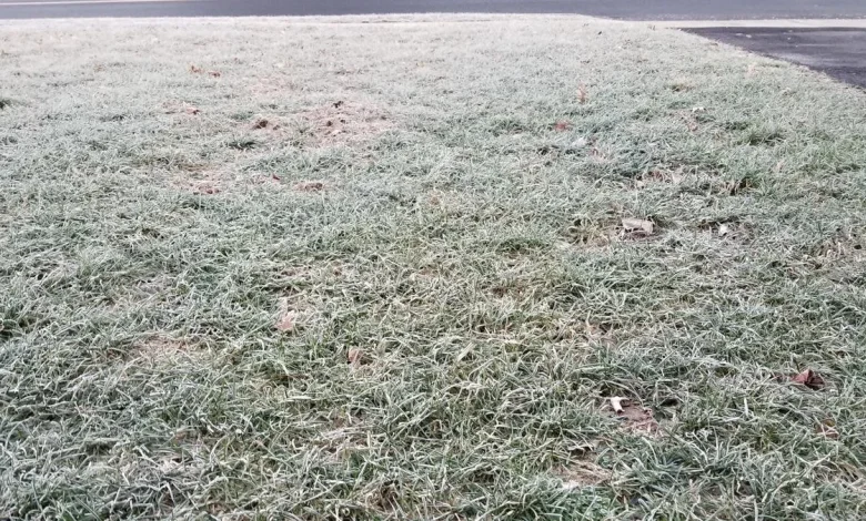
Latest model guidance shows spotty showers pushing through New Jersey in the late morning to mid-afternoon time frame on Wednesday — so let’s just call it “midday”. Given those borderline temperatures, what falls from the sky could come as snow, rain, or a little bit of both. I think accumulations and travel impacts will be very limited here. Expect maybe a coating on grassy surfaces in North Jersey only, and that’s it. Otherwise, just a few hundredths of an inch of precipitation.
Thursday NJ weather: Quiet but cold
High temperatures will settle back into the upper 30s with a chilly breeze on Thursday, although at least it will be a mostly sunny day.
The Friday daytime hours will stay quiet, with sun and clouds and highs again in the upper 30s.
The next storm system to watch will be in the Friday night to early Saturday time frame. This one looks to drive widespread snow showers through New Jersey. And if everything plays out perfectly, I could see up to an inch or two of total accumulation here. Not quite enough to shovel or plow, but certainly enough to make for a wintry start to the weekend. I’m not hanging my hat on that forecast just yet — we’ll keep you posted on the lastet timing and totals outlook as the week goes on.
Next weekend does look quite frigid, with highs barely at the freezing mark for both Saturday and Sunday. That will be the last full weekend of autumn, by the way. Also, Hanukkah starts Sunday at sundown.
5 DAY FORECAST: New Jersey Weather Center
Cough, cough: NJ’s favorite lost voice and sore throat remedies
Gallery Credit: Dan Zarrow
Dan Zarrow is Chief Meteorologist for Townsquare Media New Jersey. Follow him on Facebook for the latest forecast and realtime weather updates.
New Jersey’s top 10 spots for soup
Many soup destinations are featured, so find the one closest to you!
Gallery Credit: Jill Croce