The snow is expected to taper to scattered flurries from southwest to northeast late this afternoon, Environment Canada says
WEATHER ALERT
ENVIRONMENT CANADA
*************************
Yellow Warning – Snowfall
In effect for:
- Barrie – Collingwood – Hillsdale
- Bracebridge – Gravenhurst
- Innisfil – New Tecumseth – Angus
- Midland – Coldwater – Orr Lake
- Newmarket – Georgina – Northern York Region
- Orillia – Lagoon City – Washago
Impact Level: Moderate
Forecast Confidence: High
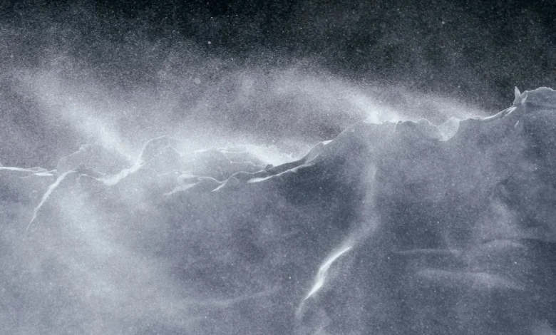
Heavy snow and local blowing snow expected.
What: Total snowfall amounts of 10 to 15 cm. Reduced visibility in heavy snow and blowing snow.
When: Ending late this afternoon.
Additional Information: An Alberta clipper will bring snow across the area which may be heavy at times today. The snow is expected to taper to scattered flurries from southwest to northeast late this afternoon.
Lake effect snow squalls are then possible for areas southeast of Georgian Bay Wednesday night into Thursday.
Additional snowfall accumulation is likely for some locations. Travel will likely be challenging. Roads and walkways will likely be difficult to navigate due to accumulating snow.
Visibility will likely be reduced at times. Allow extra time for travel.
Please continue to monitor alerts and forecasts issued by Environment Canada. To report severe weather, send an email to [email protected] or post reports on X using #ONStorm.
*************************