NetWeather predicts possibility of snow from Scotland to Northern England, but Met Office urges caution as long-range forecast remains uncertain
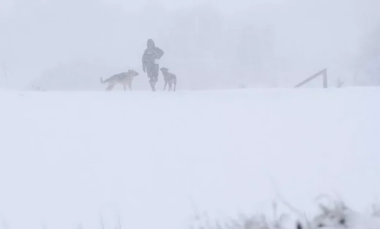
A woman walks her dogs in the snow (Image: Getty Images)
The question of whether we’ll see a white Christmas is always a hot topic in the lead up to the festive season. Could 2025 be one of those rare years where snowfall graces us on Christmas Day?
A recent report suggests that it might just be. The last time the UK experienced a white Christmas depends on your interpretation of the phrase – if we’re considering every weather station reporting snow, then it would be 2010.
However, if you define a ‘white Christmas’ as a single snowflake falling anywhere in the UK on Christmas Day, then things could look quite different. If predictions from weather forecaster NetWeather are accurate, 2025 could see more than just a solitary snowflake.
The forecast suggests potential snowfall on Christmas Day, spanning from Scotland down to Northern England, with cities such as Glasgow, Manchester, and Derby potentially affected. The weather map indicates Scotland as the epicentre of the snowy conditions.
But before you dust off your snow boots and sledges, it’s worth noting that the Met Office has offered a more cautious outlook. With Christmas still a fair way off, their long-range forecast currently only covers the period leading up to Christmas, from December 14 to December 23, reports the Mirror.
Snow map(Image: Netweather)
It said: “A continuation of a similar pattern to that seen through early December is anticipated, especially at first, as frontal systems from the Atlantic spread into and across the UK, interspersed with some temporary drier interludes.
“These will bring spells of rain, which may be heavy at times leading to the risk of some impacts given how wet it has been lately, especially in the west.
“In addition, there is also potential for some periods of strong winds at times too. Whilst it will often be mild, later in the period there may be a slight downward trend in temperature, especially across northern parts of the UK, and the chance of drier spells increases. There may also be a slightly higher chance of some wintry hazards at times in the north.”
However, what can we expect during Christmas Eve, Christmas Day, and that peculiar stretch between Christmas and New Year when normal routines seem suspended?
The Met Office remains equally reserved in its predictions for this festive window.
The extended outlook covering Christmas Eve through to January 7 indicates: “Changeable conditions are likely to give way to slower moving weather patterns through this period, however the detail remains highly elusive.
“This means that whilst outbreaks of rain and showers remains probable at times there will also be drier interludes, which may be more prolonged than of late.
“Some spells of strong winds are possible but in the drier periods frost and fog becomes likely. On balance temperatures will likely be near normal with any snowfall most likely in the north over higher ground.”