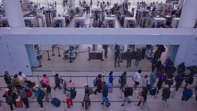
WASHINGTON (7NEWS) — December 2025 is on track to be one of the coldest starts to the month since 2005. As temperatures tumble again this weekend, an approaching weather maker will bring another chance at accumulating snow to the Mid-Atlantic this weekend.
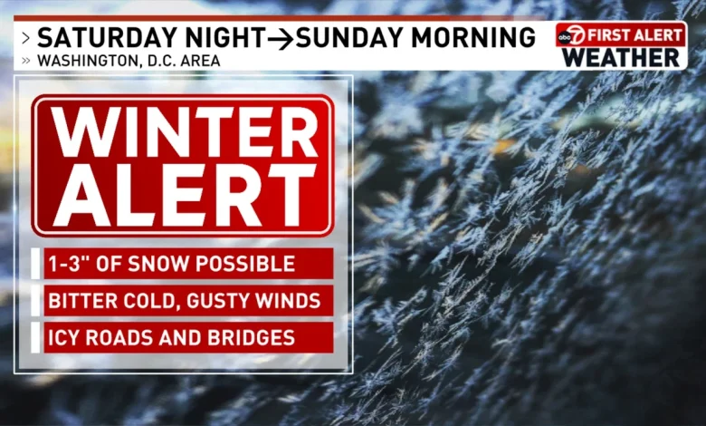
Winter Alert – Saturday night through Sunday morning
The First Alert Weather Team will be on WINTER ALERT Saturday night as an amplified area of low pressure will approach the DMV Saturday night, and temperatures will drop well into the 20s.
Most of Saturday will be dry and relatively mild, compared to the last several days, with temperatures reaching the mid-40s to near 50 degrees.
After sunset, a brief window of a wintry mix is possible as precipitation moves in and temperatures plummet.
Futurecast Saturday at 6:00 pm
Snow showers will develop along the I-95 corridor after sunset and be slow to taper off around sunrise Sunday.
Futurecast Sunday at 12:00 am
Snowfall amounts will range from 1 to 3 inches across most of the DC metro. Higher amounts will likely accumulate north and east of DC, with lower totals south and west of the Beltway.
Future snowfall totals – GRAF Model
A surge of Arctic air will move in behind the snowfall, locking temperatures below freezing for the rest of Sunday through most of Monday.
Monday morning wind chills
Air temperatures will fall to the 10s area-wide by Monday morning, with wind chills as cold as the single digits.
Comment with Bubbles
BE THE FIRST TO COMMENT
Some relief will come by midweek as sunshine returns and temperatures return to average.