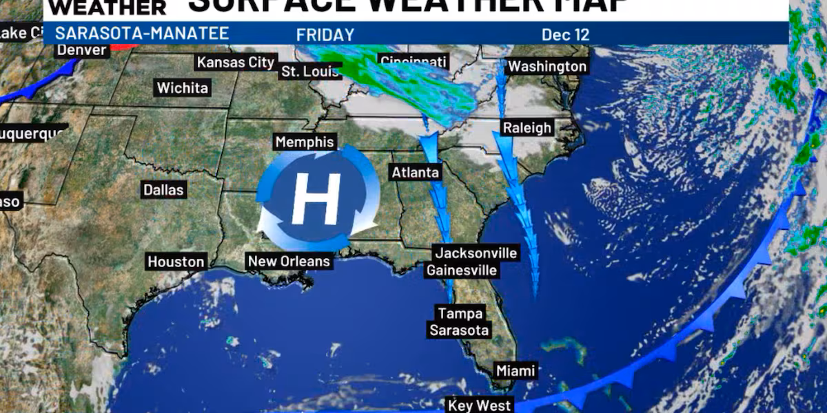
SARASOTA, Fla. (WWSB) – A cold front is slipping south of us and exiting the state today. Its passage has driven in cooler, drier air. The main impact has been a very cool start to our day, along with the sunny, clear skies that will dominate our forecast. After the cool start, temperatures will quickly rebound, and afternoon highs will be several degrees warmer than yesterday.
The morning cool spell won’t last long. Temperatures will continue to rise, and this weekend they’ll bounce right back toward 80 degrees. This happens because the front that passed us today will start drifting back north as a warm front. As it returns, it brings a little extra moisture, which could spark a few isolated showers, mainly in Southwest Florida.
Just as the atmosphere begins warming again, another cold front arrives late Sunday. This one will freshen things up for the start of the workweek, dropping morning lows back into the low 50s on both Monday and Tuesday, accompanied by a gusty Monday breeze. Afternoon temperatures on both days will bounce back into the low to mid-70s. Florida may not do long winters, but it certainly enjoys the occasional dramatic temperature drop.
Copyright 2025 WWSB. All rights reserved.