Snow is still on the ground across the D.C. region Sunday morning, and it’s not going anywhere as bitter cold air settles in.
Snow is still on the ground across the D.C. region Sunday morning, and it’s not going anywhere as bitter cold air settles in.
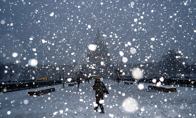
Reports show 1 to 3 inches of snow fell along and north of I-70 early this morning, as bands of moderate to heavy snow continue to move through the I-95 corridor as of 5 a.m., according to 7News Meteorologist Mike Stinneford. He said 1 to 3 inches of snow is possible under the heavier snow bands.
It will remain cold out there as the day goes on: Temperatures are around or just above freezing, which means main roads may become slushy and some areas may become icy as temperatures fall below freezing over the next few hours, Stinneford said.
Main roads should be okay, though, but secondary roads may become slushy and snow packed. We might see some icing as temperatures fall below freezing, especially bridges, overpasses, exit and entrance ramps, and untreated secondary roads.
The bulk of the snow will end before 8 am.
As the snowfall tapers off, skies will quickly clear, allowing for some sunshine during the day. Stinneford warns that later today it will become windy and sharply colder, with temperatures falling through the 20s, and wind chills as low as the single digits. With temperatures struggling to climb out of the 20s, any snow and ice that’s already on the ground will be slow to melt.
“Be very careful on elevated roadways,” said 7News First Alert Meteorologist Mark Peña, warning about accumulating ice on the road.
“No matter how much snow you see, it’s not only going to stick around for the rest of Sunday but for most of Monday,” said Peña, adding that Sunday night will mark the coldest night of the season so far.
By Monday morning, temperatures will be in the teens as people head out the door, with wind chills close to zero.
Transportation agencies continue to urge drivers and pedestrians to use extreme caution, especially on secondary roads and sidewalks where snow and ice may linger.
Temperatures will finally climb back above freezing by Tuesday.
Last week, the first snowstorm hit the D.C. region in December for the first time since 2017.
FORECAST
Mike Stinneford, 7News First Alert Meteorologist
SUNDAY MORNING: WINTER WEATHER ALERT
Snow ending from west to east. About 1-3 inches of snow accumulation.
Becoming windy and colder with temperatures falling through the 20s.
SUNDAY AFTERNOON: Partly to mostly sunny, windy and cold.
Temperatures holding in the 20s. Wind chill in the single digits.
Highs: 28-32
Wind Chill: 10s & 20s
Winds: Northwest 15-25 mph
Gusts: 35-40 mph
SUNDAY NIGHT: COLD ALERT
Mostly clear & cold
Lows: 18-22
Wind Chill: 5-10
Winds: Northwest 15-20 mph
A very cold night due to wind chills in the single digits. The bus stop and morning commute will be very cold and those outside should dress in many layers and cover exposed skin to protect from frostbite.
MONDAY: COLD ALERT
Partly sunny
Highs: 28-34
Wind Chill: 20s
Winds: Northwest 10-15 mph
Gusts: 20-25 mph
Morning temperatures in the single digits will only climb into the upper 20s to low 30s. Many neighborhoods will be subfreezing all day long.
TUESDAY:
Mostly sunny
Highs: 32-36
Winds: West 5-10 mph
Sunny skies continue as temperatures finally warm above freezing for the first time since late Sunday.
CURRENT CONDITIONS
Get breaking news and daily headlines delivered to your email inbox by signing up here.
© 2025 WTOP. All Rights Reserved. This website is not intended for users located within the European Economic Area.