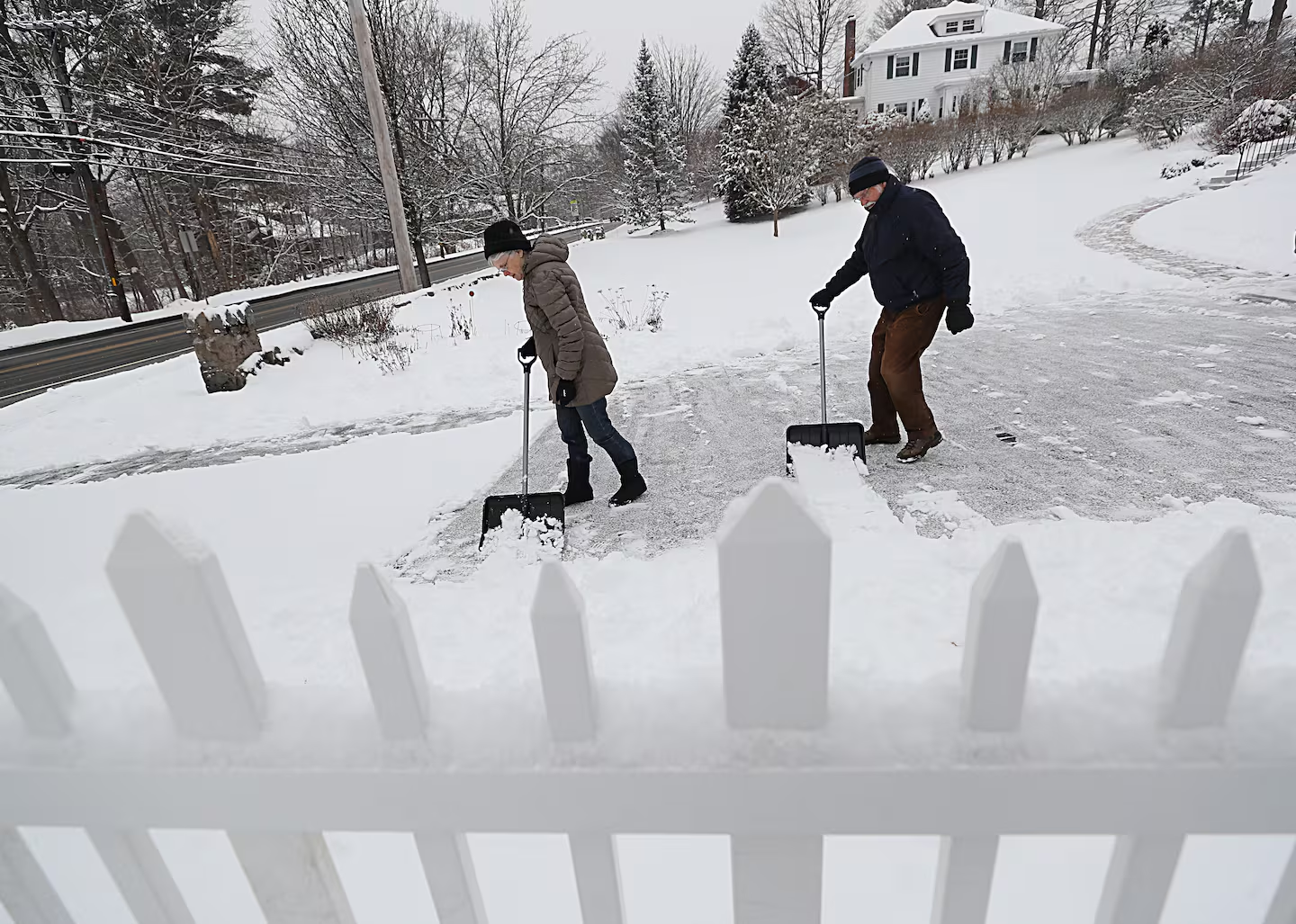
Western Massachusetts and Northern New England have seen plenty of early-season snow, but Boston is still waiting for its first measurable accumulation. This could change by late Saturday as a weak but quick-moving coastal storm veers close enough to bring scattered to steady light snow overnight Saturday into early Sunday afternoon — potentially affecting fans planning to attend the Patriots-Bills game at Gillette Stadium.
Snowfall will be brief, but still impactful enough for winter weather advisories across most of Southeastern Massachusetts, the Cape, Rhode Island, and southern Connecticut. Roads will be slippery, especially Sunday morning.
Here are the latest forecast snowfall totals for the region. Some snow could start falling from 10 p.m. to midnight:
• Coating to 1 inch — Parts of the North Shore near the New Hampshire border, west along Route 2 to the Berkshires; coastal and southern New Hampshire and southern Vermont.
• 1 to 3 inches — Greater Boston west to the Berkshires, along and south of the Mass Pike, Southeastern Massachusetts, Outer Cape, inland Rhode Island, and Connecticut.
• 3 to 4 inches — South Coast of Mass., coastal Rhode Island, most of Cape Cod, and the islands.
These maps provide further storm details:
Sunday could bring the first measurable snowfall to Boston.Boston GlobeA winter weather advisory is in effect from 10 p.m., Saturday into Sunday for parts of Southern New England. Plan on slippery road conditions.Boston GlobeA boundary will mix with coastal energy to spark light snow across Southern New England, beginning overnight Saturday.Boston GlobeSnow will work into Southern New England beginning overnight Saturday and last through at least the first half of Sunday.Boston Globe
Boston typically averages its first 1-inch snowfall on Dec. 11, though this season has only seen trace amounts so far, despite the cold start to December. Temperatures, though, will be cold enough for snow this weekend, around freezing.
Wind chills will drop quite a bit Sunday afternoon, ranging from the upper teens to around 20 degrees to near zero west and north.Boston GlobeSunday will see highs in the upper 20s to mid-30s across most of New England.Boston GlobeWind gusts on Sunday afternoon will reach around 20 mph.Boston Globe
After the storm: Polar vortex cold moves in
Much colder Arctic air will follow on the heels of the storm, dropping Sunday night temperatures into the teens and keeping Monday in the 20s.
Highs on Monday will likely stall in the low to mid-20s across most of New England.Boston Globe
Sign up here for our daily Globe Weather Forecast that will arrive straight into your inbox bright and early each weekday morning.
Ken Mahan can be reached at ken.mahan@globe.com. Follow him on Instagram @kenmahantheweatherman.