An overnight freeze of snowy surfaces could cause a refreeze that leads to traffic issues Monday morning
See below for reported delayed openings or other cancellations.
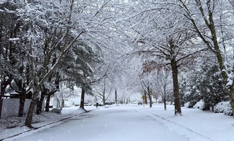
Temperatures that dropped on Sunday afternoon as the storm wrapped up will turn any snow on sidewalks and roads into sheets of ice, according to New Jersey 101.5 Chief Meteorologist Dan Zarrow. Some school districts could delay the start of classes to give road and maintenance crews extra time. Bitter cold could also be a factor.
“With that cold air mass, biting wind, and fresh snowpack, we will likely see widespread low temperatures in the teens. Wind chills will be in the single digits, approaching “dangerous cold” territory.
Check our list of delayed openings and cancellations
Temperatures stay cold
Zarrow says both Monday and Tuesday will be very cold with highs just in the 30s before a brief warm up begins.
“A shift to southwesterly winds will drive a warmup toward 40 degrees on Wednesday. And then even warmer air moves in Thursday, potentially pushing thermometers into the 50s. The warmest weather New Jersey has seen in two to three weeks,” Zarrow said.
Chief Meteorologist Dan Zarrow’s Latest on the Storms
[NOTE: Entries marked “TEST REPORT” are not actual closings.]
Latest Reports
Report a correction 👈 | 👉 Contact our newsroom
Christmas snow – When it’s happened, and the 2024 odds for NJ
Fun weather facts from Chief Meteorologist Dan Zarrow, using data from the New Brunswick weather station. The trend for this year’s Christmas is also included.
Gallery Credit: Mike Brant