We could get a fine, dry Christmas week
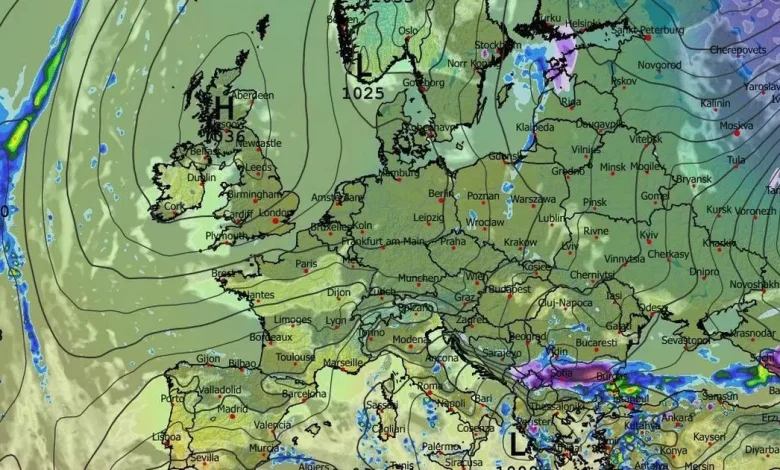
Christmas Day forecast – showing fine, dry conditions over Ireland.(Image: WXVHARTS)
It’s a morning to take care on the roads across Cork and Munster as mist and fog – heavy in some parts – may not clear away for a few hours.
After the very heavy rain of the weekened, with the ground severely waterlogged and spot flooding still an issue in places, we can at least look forward to 48 hours of more settled weather, but it will get colder with temps dropping towards freezing overnight and the chance of a frosty start tomorrow (Tuesday).
After that, it’s back to the very unsettled, wet and windy weather that we have seen for most of December, for much of the rest of the week. There is some promise on the horizon for a more settled, brighter and drier Christmas week, with the long-range forecast showing the possibility of a high-pressure system taking charge as we reach Christmas Eve.
In their latest outlook this morning, Met Éireann say: “While unsettled conditions are set to continue for the weekend, with further spells of rain and showers on the way, there are indications that more settled conditions will develop from early next week.”
The full forecast for Munster this morning looks like:
TODAY – Monday 15th December
Any mist and fog will clear, giving way to a mostly dry day with bright or even sunny spells. A few isolated showers may feed in from the Atlantic. Highest afternoon temperatures of 6 to 10 degrees, with a mostly light southwesterly or variable breeze.
TONIGHT
A chilly night, it will be largely dry with long clear spells. A few isolated showers may feed in from the Atlantic. A touch of frost is possible with lowest temperatures of 0 to 4 degrees, while some mist and fog patches are possible with a light southerly or variable breeze.
TOMORROW – Tuesday 16th December
A mostly sunny and dry day, with just a few isolated showers feeding in from the Atlantic. However, cloud will start to build from the west towards nightfall. Highest afternoon temperatures of 4 to 9 degrees, with a mostly light southwesterly breeze, strengthening towards nightfall.
National Outlook
Overview: After a mostly dry and bright start to the week, conditions will become unsettled again from Tuesday night, with spells of wet weather forecast for the second half of the week.
Tuesday night: Starting off clear over the eastern half of the country, before cloud spreads across the country from the west, with outbreaks of rain and drizzle following. It will be coldest under clear skies early in the night, with temperatures dropping to 1 to 4 degrees. However, it will become milder through the night. Southerly winds will strengthen through the night, becoming fresh to strong and gusty, with gales possible along coasts.
Wednesday: Outbreaks of rain and drizzle will become patchier as they clear eastwards through the morning and afternoon, with a mix of sunny spells and scattered showers following from the west. Milder than the previous two days with highest afternoon temperatures of 10 to 13 degrees. While winds will ease through the morning, it will remain breezy with moderate to fresh southwesterly winds, stronger on western and northwestern coasts.
Wednesday night: Showers will become less frequent through the night, with dry conditions developing for most. Some clear spells too. Lowest temperatures of 4 to 8 degrees, with moderate to fresh southwesterly winds easing towards morning.
Thursday: While the detail is still uncertain, Thursday will bring some wet and windy weather. Persistent rain, heavy at times, will affect parts in the morning and afternoon. As this clears eastwards, showers will feed in from the Atlantic, some of which will be heavy and with a risk of hail or isolated thunderstorms. Highest afternoon temperatures of 7 to 10 degrees. Moderate to fresh southerly winds will veer southwesterly and increase fresh to strong, with gales possible on some western coasts.
Friday: Current indications are that Friday will be a drier day with sunny spells and scattered showers feeding into Atlantic coastal areas. Highest afternoon temperatures of 7 to 10 degrees, with moderate to fresh southwesterly winds.
Further outlook: While unsettled conditions are set to continue for the weekend, with further spells of rain and showers on the way, there are indications that more settled conditions will develop from early next week.