The creation of this content included the use of AI based on templates created, reviewed and edited by journalists in the newsroom. Read more on our AI policy here.
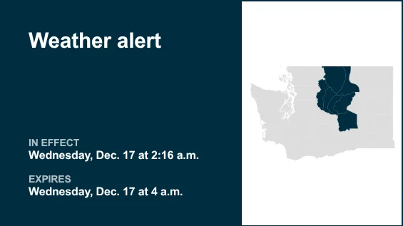
The NWS Spokane WA issued a special weather statement at 2:16 a.m. on Wednesday until 4 a.m. The alert is for Moses Lake area, Wenatchee area, Okanogan Valley, Waterville Plateau, Central Chelan County, Western Chelan County and Western Okanogan County.
“A vigorous cold front will begin crossing the Cascades between 2 a.m. and 3 a.m. With the frontal passage, look for sharp increase in west winds and potential for wind gusts between 50 and 60 mph with isolated gusts to 70 mph. For Chelan and Okanogan County, the highest confidence for these stronger winds will over the ridgelines. As the front moves into the western Columbia Basin, these stronger winds will begin surfacing on the Waterville Plateau, Wenatchee Area, and western Columbia Basin around Vantage, Moses Lake and Ephrata. Motorists with high profile vehicles should be prepared for rapid increases in winds and wind gusts and potential for dangerous cross winds,” states the NWS.
This alert is in effect until 4 a.m.
Source: The National Weather Service
United Robots Washington
This story was originally published December 17, 2025 at 2:19 AM.