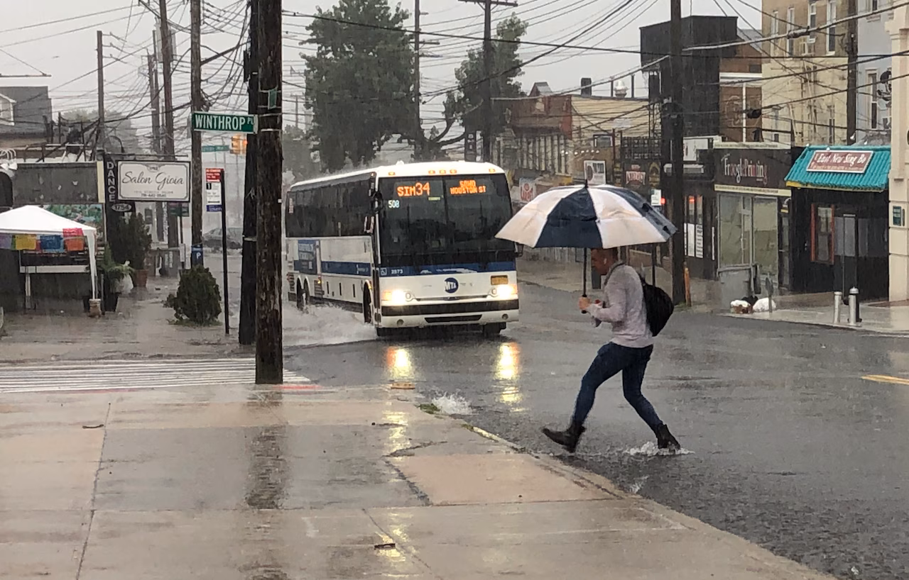
STATEN ISLAND, N.Y. — Residents may want to set the shovels aside and grab their umbrellas, as a wet and windy Friday morning is expected, with the worst conditions coinciding with the early morning commute.
Brian Hurley, a meteorologist with the National Weather Service Weather Prediction Center, said the New York City area faces a 100% chance of rain. “In other words, you ain’t getting away from it,” he quipped.
The heaviest rainfall is forecast between about 6 a.m. and 8 a.m., when three-quarters of an inch to 1 inch of rain could fall. A brief break is possible before another round of showers moves through the area closer to noon.
“The worst of it looks like it’s going to be between 6 a.m. and 8 a.m.,” Hurley said. He added that thunderstorms are possible between 6 a.m. and 9 a.m., though severe weather is not expected.
Conditions should begin to improve by midday. Hurley said breaks in the cloud cover are possible later in the day, and dry air moving in from the west could set the stage for a pleasant sunset.
Temperatures will climb into the mid- to upper 50s by midmorning before dropping to near 40 degrees by evening. West winds of 20 to 26 mph are expected, with gusts reaching 45 to 50 mph.
Looking ahead to the weekend, Hurley said the forecast is more favorable. Saturday is expected to be mostly sunny, with highs in the upper 30s and wind chill values dipping into the 20s.
Sunday will be warmer, with partly sunny skies and a high near 46 degrees. No precipitation is expected through the weekend.
“It’s very tranquil,” Hurley said. “It’s not a bad weekend as far as how weekends can go in December.”