Sign up to our free money newsletter for investment analysis and expert advice to help you build wealth
Sign up to our free money email for help building your wealth
Sign up to our free money email for help building your wealth
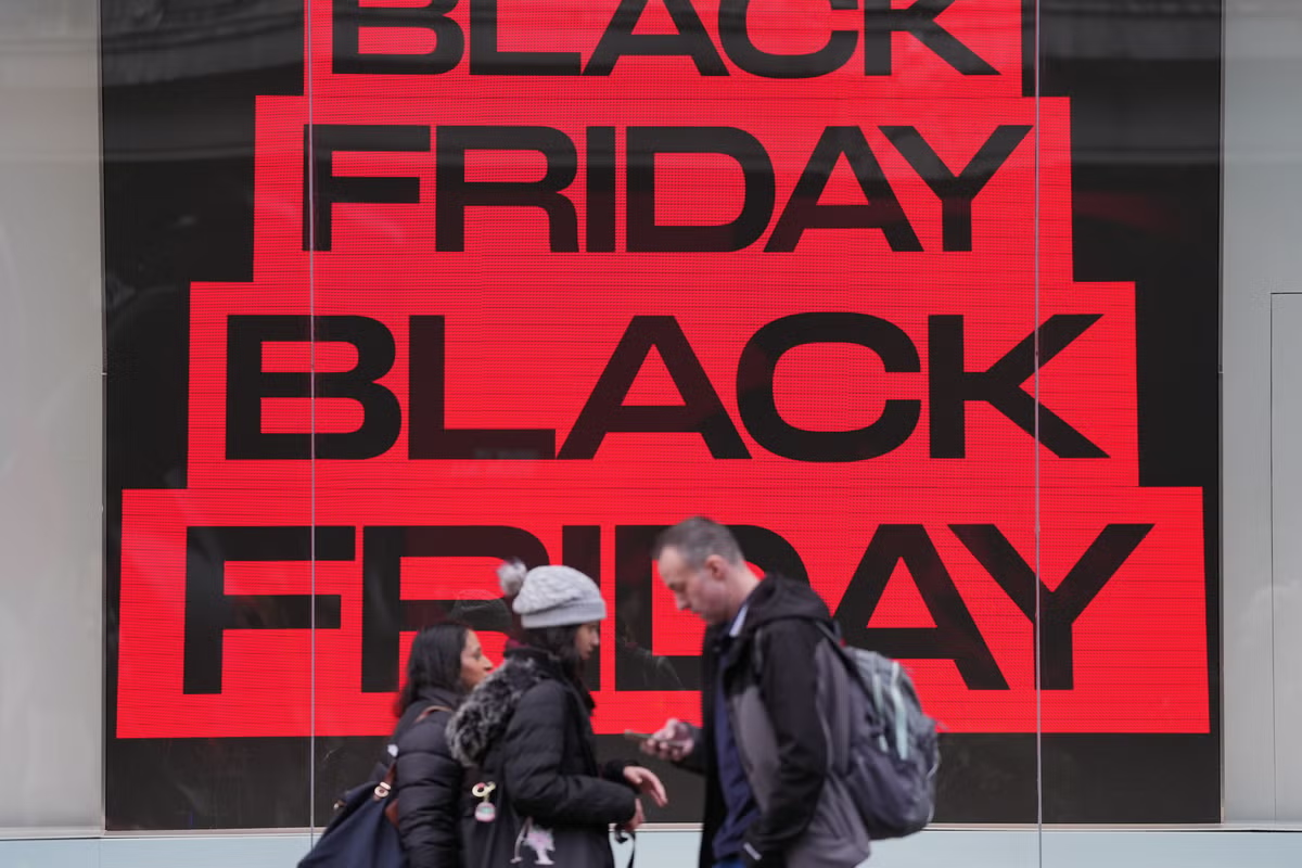
Nationwide Building Society has said its customers made more than 2.5 million transactions between midnight and 10am on Black Friday.
The number of purchases made during this time is 13.6% higher than Black Friday 2024.
Nationwide said it recorded more than 2.2 million transactions by 10am last year.
Mark Nalder, service, operations and performance director at Nationwide said the society had predicted it would see more than 12 million transactions during the day – a 10% increase on last year.
He said: “So far this morning, our customers have made over 2.5 million transactions, which means we’re already seeing a busy day ahead for retailers.
“Consumers are more alert than ever about potential scams or deals that look too good to be true.
“It helps to opt for reputable retailers and brands that you trust, check the price history of any items to ensure that you’re paying the best price and read verified customer reviews to avoid being disappointed with a purchase.
“Try and stick to a budget or the wishlist of items you had in mind, to avoid impulse purchases or overspending.”
On the previous Friday (November 21), Nationwide recorded 1.97 million transactions between midnight and 10am, making the same period on Black Friday a 27% increase.