Meanwhile, locally heavy snowfall has been reported in communities such as Corner Brook, Massey Drive, Grand Falls-Windsor, and along the Trans-Canada Highway across western Newfoundland. Snow was reported as far east as Gander.
What’s left of the storm?
Be prepared for additional power outages and potential travel impacts. Marine Atlantic has cancelled ferry crossings through Wednesday morning.
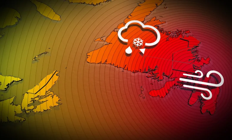
The sub-950 hPa low will cross the Avalon by the pre-dawn hours Wednesday morning, bringing damaging winds (120+km/h), monstrous waves, and high-impact weather conditions to the province.
Meanwhile, potent winds continue across P.E.I. and Cape Breton, N.S., Tuesday overnight, with localized power outages expected.
As the low slowly swirls north of Newfoundland on Wednesday, damaging winds are still occurring and still possible across northeastern sections.
Winds will then slowly drop below warning criteria on Wednesday afternoon and early into the evening.
Stay updated as the storm progresses. Weather conditions will likely present risks for travel and infrastructure in the region.
WATCH: How a ‘weather bomb’ forms and what it means
Stay tuned to The Weather Network for the latest forecast updates for Atlantic Canada.