This is a breaking news story and will be updated.
More than 30,000 NV Energy customers were without power as of 7:30 a.m. on Nov. 5 as high winds whipped through northwestern Nevada.
The University of Nevada, Reno reported power outages throughout campus, but power had been restored to the south end of campus including residence halls by 7 a.m.
The majority of the outages were reported between 5 and 7 a.m.
The bulk of the outages were in Washoe County, where more than 29,000 customers were without power. The hardest-hit Washoe County ZIP codes were mostly in residential areas west of Interstate 80: 89508, 89503, 89523, 89511, 89509 and 89506.
Douglas County customers also struggled with outages, with 3,504 customers losing power. The majority were in the 89449 area code, which covers Stateline on the south shore of Lake Tahoe.
NV Energy said it is investigating the cause of the outages, and as of 7:30 a.m. did not have estimates on when power would be restored.
The region is under a high wind warning that will remain in effect until 10 p.m. Wednesday. The greater Reno, Carson City and Lake Tahoe areas should see southwest winds 35 to 45 mph, with gusts of up to 65 mph in valleys and ridgetop gusts up to 110 mph.
Lake Tahoe may see wave heights of three to five feet.
“Damaging winds will blow down trees and power lines,” the National Weather Service’s Reno office reported. “Widespread power outages are expected. Travel will be difficult, especially for high profile vehicles.”
Reno-Sparks weather forecast
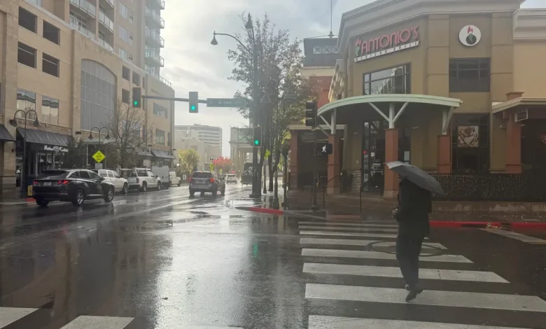
Wednesday: Mostly cloudy with a chance of rain. Areas of blowing dust in the afternoon. Highs 57 to 62. Southwest winds 25 to 35 mph with gusts up to 60 mph.
Wednesday night: Partly cloudy. Slight chance of rain in the evening. Areas of blowing dust in the evening. Lows 32 to 42. Southwest winds 20 to 30 mph with gusts up to 50 mph decreasing to 10 to 15 mph with gusts up to 35 mph after midnight.
Thursday: Sunny. Highs 59 to 64. Southwest winds 10 to 15 mph.
Thursday night: Partly cloudy. Lows 37 to 47. Southwest winds 10 to 15 mph.
Friday: Mostly cloudy in the morning then becoming partly cloudy. Highs 62 to 67. West winds 10 to 15 mph.
Friday night: Partly cloudy in the evening then becoming clear. Lows 37 to 42.
Saturday through Sunday night: Partly cloudy. Highs 62 to 72. Lows 40 to 45.
Monday and Monday night: Mostly cloudy. Highs 64 to 74. Lows 41 to 46.
Tuesday, Veterans Day: Mostly cloudy in the morning then becoming partly cloudy. Highs 63 to 73.
Lake Tahoe weather forecast
Wednesday: Rain and snow. Snow level 7,500 feet, rising to 8,500 feet. Snow accumulation of 1 to 4 inches. Highs 46 to 51. Southwest winds 20 to 30 mph with gusts up to 50 mph. Ridge gusts up to 90 mph.
Wednesday night: Mostly cloudy with a chance of rain and snow. Snow level 7,500 to 8,000 feet. Snow accumulation up to 1 inch. Lows 26 to 36. Southwest winds 20 to 30 mph with gusts up to 55 mph. Ridge gusts up to 75 mph.
Thursday: Partly cloudy in the morning then clearing. Highs 49 to 59. Southwest winds around 10 mph in the morning, becoming light.
Thursday night: Partly cloudy. Lows 30 to 40. Southwest winds 10 to 15 mph. Ridge gusts up to 55 mph.
Friday: Mostly cloudy with a slight chance of rain in the morning, then partly cloudy in the afternoon. Highs 52 to 62. Southwest winds 10 to 15 mph. Ridge gusts up to 50 mph.
Friday night: Partly cloudy in the evening then becoming clear. Lows 29 to 39.
Saturday through Sunday night: Partly cloudy. Highs 58 to 68. Lows 30 to 40.
Monday and Monday night: Mostly cloudy. Highs 59 to 69. Lows 33 to 43.
Tuesday, Veterans Day: Mostly cloudy in the morning then becoming partly cloudy. Highs 58 to 68.