First Alert: Tracking very cold and blustery conditions for the Carolinas next week

CHARLOTTE, N.C. (WBTV) – Tomorrow will be our last warm day before some arctic air begins to spread across the Carolinas.
Tracking some of the coldest air of the season(WBTV)
We are going to wrap up this Saturday with a slight chance for some isolated showers and thunderstorms. For the overnight, expect mostly cloudy skies along with some areas of patchy fog and lows in the mid 50s. Ahead of the arctic cold front, a few isolated showers will be possible on Sunday otherwise expect mostly sunny skies with highs in the mid-70s.
Becoming mostly sunny and warm on Sunday(WBTV)
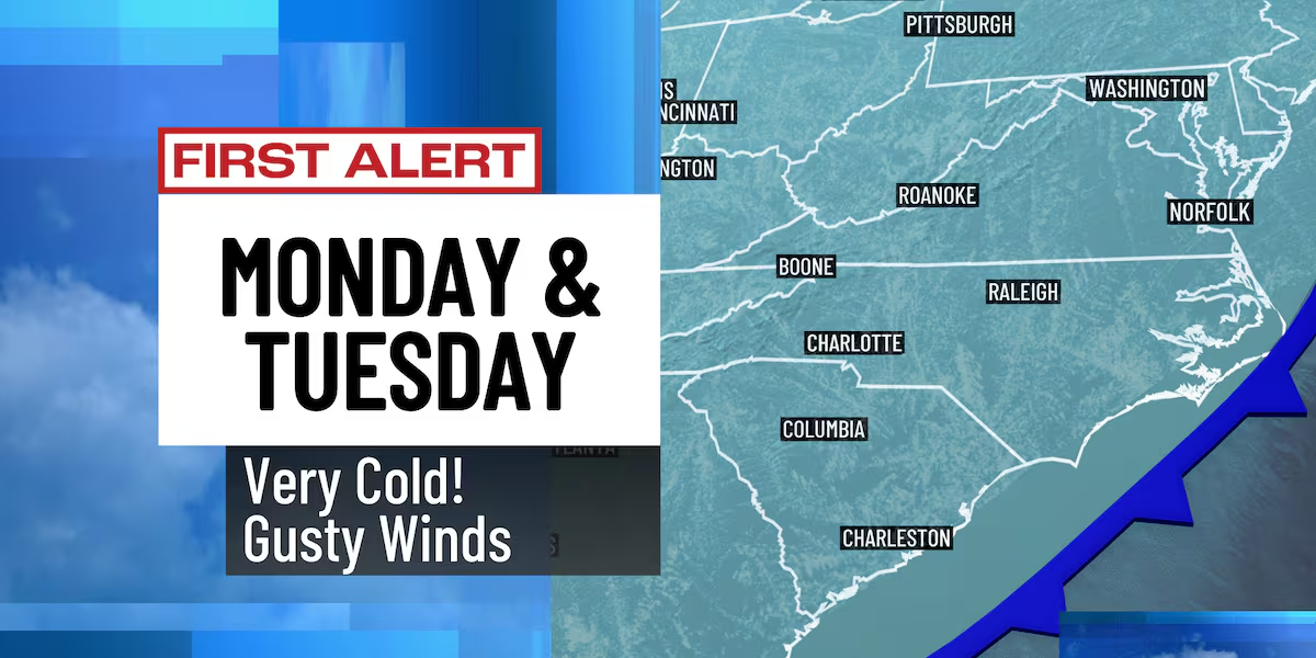
Tomorrow night into Monday, the cold front will sweep through the Carolinas giving us a brief but significant round of freezing and sub-freezing temperatures. Monday is still on track to be mostly sunny, windy, and cold with highs only in the 30s across the mountains and 40s in Charlotte. In addition to the frigid temperatures, scattered snow showers will be possible in the mountains off-and-on throughout the day with an inch or less of accumulation possible in the highest elevations.
First Alerts Monday and Tuesday(WBTV)What you need to know about the forecast(wbtv)
Tuesday will be the coldest and the last day of this cold snap with morning lows in the teens and 20s; expect highs in the 30s and 40s.
Temperatures will begin warming up on Wednesday. Wednesday through Friday will be mostly sunny and dry with highs in the mid to upper 60s. Next weekend also looks mild and pleasant for now with highs in the upper 60s and lower 70s.
A very cold start to the work week!(WBTV)
Forecast at a glance
- Sunday: AM stray shower, PM sunshine
- First Alert Monday: Mostly sunny, breezy & colder
- First Alert Tuesday: Very cold, mostly sunny
Download the free WBTV Weather app on your mobile device to receive weather alerts and get your latest WBTV weather forecast on the go. You can also get the latest weather forecast on Roku and Amazon Fire’s WBTV app.
Copyright 2025 WBTV. All rights reserved.


