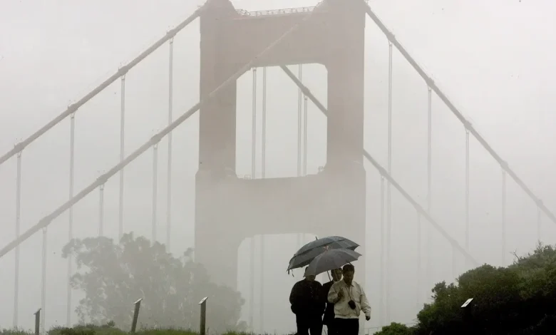
OAKLAND, Calif. – The same parent low-pressure system that brought more than 5 inches of rain to the Santa Cruz Mountains on Thursday is still impacting Northern California – and will bring another round of rain and wind to the Bay Area on Sunday night.
After producing widespread light rain across the southern Bay Area and Central Coast last week, the system will reorganize offshore and send a fresh, stronger cold front into the region late Sunday night.
What’s coming tonight?
A new cold front – tied to the same lingering system – arrives with:
- Moderate to heavy rain
- Gusts of wind between 30 and 40 mph.
- A slight (20–25%) chance of thunderstorms
- Localized flooding, as soils are already saturated
- Rain moves in from north to south starting Sunday evening, intensifying overnight.
Bay Area rainfall expectations into Monday morning:
- North Bay Mountains and Santa Cruz Mountains: 1–2 inches
- Santa Lucia Range: 2–3 inches
- Urban Bay Area and Central Coast: 0.5–1.25 inches
- Inland valleys: 0.5 inches
- Coastal hills: 2.25 inches
Southerly winds are expected to increase prior to the arrival of the cold front. Winds may approach 50 mph for a few isolated peaks in the Bay Area.
High-resolution models continue to show a well-organized band of heavier rain forming along the cold front, capable of raising small creeks and causing puddles to form on roads. Rainfall rates are expected to jump up dramatically as the storm front moves across the Bay Area, with the heaviest rain expected from 11 p.m Sunday to 3 a.m. Monday.
If you encounter flooding or road closures, never drive through water – turn around and find an alternate route.
The most intense rain should move out before the Monday morning commute.
Forecast models are still projecting more rain for the morning hours. The strong winds are expected to decrease.
How much rain has fallen in Southern California?
As the same parent system shifts south, rain continues to fall across Los Angeles and Santa Barbara.
Here are early totals so far, with more rain still underway:
Los Angeles County
- Metro Los Angeles: 2.5 inches to 3.1 inches
- LAX: 3.11 inches
Santa Barbara County
- Santa Barbara “Tunnel” site: ~4.0 inches
- Higher terrain (Maria Ygnacio Ridge): 4.1 inches
Rain is ongoing, and these totals will continue to rise as the storm slides farther into Southern California through Monday.
What happens next?
After the front clears early Monday:
- Tuesday and Wednesday: Drying out
- Thursday: A weaker, beneficial system moves through
NewsWeatherOakland