Blizzard conditions could hit the North East today – with the region under an amber warning and yellow alerts in other areas.
The Met Office says “frequent wintry showers” will come in from the North Sea and could cause serious disruption on the roads and public transport.
The North Yorkshire Moors and parts of the Yorkshire Wolds could have 15-25cm of accumulated snow by the end of today.
The forecaster says gusts could whip up blizzard conditions – and there’s even a chance of a few lightning strikes in the mix.
Rural communities might also be cut off due to blocked roads and power cuts are possible.
Sky News weather presenter Jo Wheeler says falling temperatures overnight could make untreated roads and pavements “instant ice rinks” for this morning’s commute.
The latest snowfall comes after winter firmly took hold in the UK this week, with temperatures plummeting and picture-postcard scenes after a mild start to November.
Pic: Met Office
Today’s most serious amber snow warning stretches from the Scarborough area up to Whitby and inland towards Thirsk – and is in place until 9pm.
Less serious yellow warnings for snow and ice are also active in other areas of the country; including East Anglia and Lincolnshire (until 11am); Devon, Cornwall, and parts of South Wales (until midnight); Northern Ireland (until noon); and northern Scotland (until 9pm).
Check the weather forecast where you are
1:06
Snow hits parts of the UK
Met Office meteorologist Greg Dewhurst said large areas would be waking up this morning to a fresh layer of snow.
“The highest snowfall totals from Wednesday night through Thursday will likely be across the Sperrins, North Yorkshire Moors, Northwest Highlands, Grampians and upland Pembrokeshire,” he said.
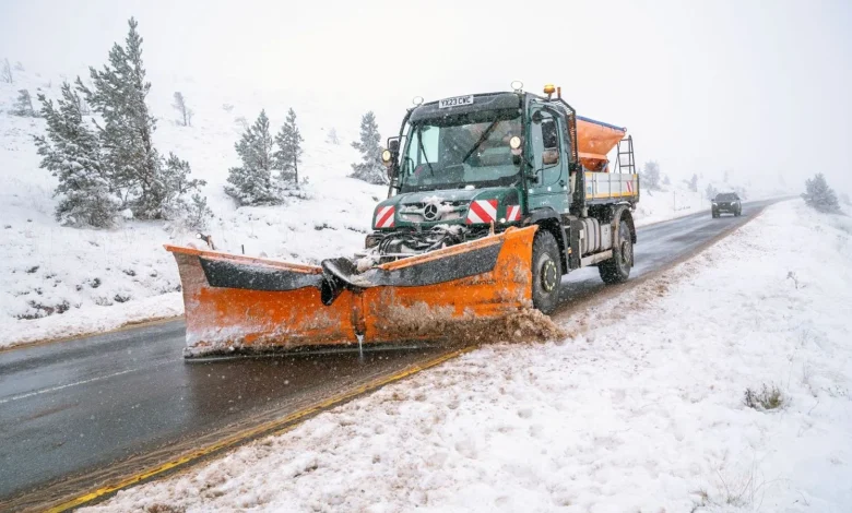
Drivers in the North East were already having trouble on Wednesday night.
Police urged motorists to steer clear of the A171 near Whitby due to vehicles stuck in the snow and also closed the A169 between Whitby and Pickering.
A person removing snow off their car in Tow Law, County Durham. Pic: PA
Read more from Sky News:
Deadline day for Andrew
Nvidia beats expectations again
The AA is reminding people to leave a far greater distance to other vehicles in snowy and icy conditions, as stopping conditions can increase tenfold.
“Drivers should plan ahead, stick to main routes and allow extra time for their journey,” said Shaun Jones of AA Expert Patrol.
Train users are also advised to check before travelling and prepare for possible delays and cancellations.
Enable Cookies
Allow Cookies Once
Temperatures overnight were forecast to be as low as -6C (21.2F) in rural areas of the North – but the Met Office says it could plunge to -12C (10.4F) in parts of Scotland on Friday.
Amber and yellow cold weather alerts, issued by the UK Health Security Agency, are also in force for much of the country.
They warn of “significant impacts” for health and social care services and the potential for a rise in deaths among the over-65s and people with health conditions.
Some respite should come by the weekend, however, when wetter and windier conditions mean temperatures will be closer to average for the time of year.