Cold weather causes school closures and power cuts with ‘thundersnow’ possible for parts of UK
Snow showers, ice warnings, thunderstorms: Your early morning forecastpublished at 07:04 GMT
Sarah Keith-Lucas
Weather presenter
Thursday
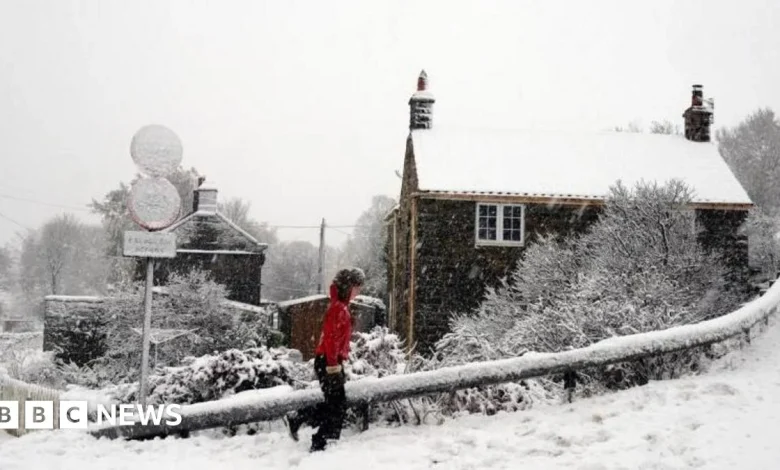
will bring another cold, icy day with Arctic air firmly in place across
the UK. Temperatures are widely several degrees below freezing first
thing, and have been down to -6C in Cumbria.
Sleet
and snow showers will be driven in on a chilly northerly wind and will mainly
affect coastal areas exposed to this wind.
The
worst affected areas today are expected to be the North York Moors and parts of
the Yorkshire Wolds, were an amber snow warning is in force. Forecasters say 15-25cm (6-10 inches) of snow
may accumulate over the high ground by the end of the day, causing significant
disruption.
Elsewhere,
yellow snow and ice warnings are in force for Northern Ireland, northern and
eastern Scotland, parts of eastern England, as well as the far south-west of
England and south-west Wales.
In these regions, expect 2-5cm (0.8-2 inches) of snow,
even for low lying areas, with perhaps as much as 10 -20cm (4-8 inches) of snow for the
highest ground in northern Scotland.
Thunderstorms may also accompany
some of the snow showers in the east, and icy stretches will be also a hazard.
For
the rest of the UK, away from the warning areas, after a frosty start, today
should stay mostly dry with some sunshine, but there could be isolated wintry
flurries and a risk of icy surfaces.
Maximum temperatures this afternoon
will range between around 2-6C.