Swarm of snowy, chilly clippers blows into Ontario this week

Clipper No. 3 (impact level is 6 out of 10): The most significant system in this sequence will begin from along the coast of British Columbia on Monday. Although the system slides farther south, negating the impacts across northern Ontario, the warm front crosses into southern Ontario into pre-dawn Wednesday hours.
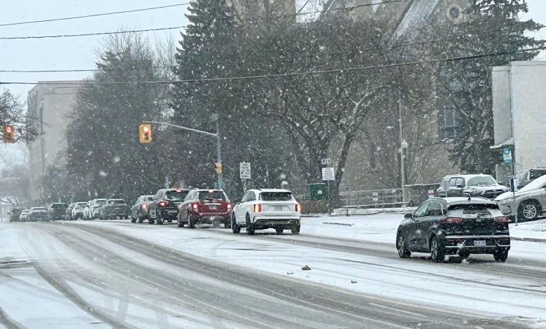
Commute impacts are likely as periods of wet snow will be ongoing early Wednesday morning across southern Ontario. Areas inland from the Great Lakes, northern sections of the GTA, and eastern Ontario will all see the heaviest snowfall accumulations from this clipper.
If the 5+ cm of accumulating snowfall is timed with the morning commute, that will increase the risk of accidents and greatly slow commute times.
Rain or mixing is likely near the western end of Lake Ontario and farther across southwestern Ontario as temperatures warm above the freezing mark. A lower barometric pressure means gustier winds as the low lifts across the province.
SEE ALSO: Many Canadians dream of a white Christmas, but what are the odds of it?
Clipper No. 4 (impact level is 2 out of 10): By Saturday, another weak low crosses the Great Lakes, bringing more bursts of snow and ushering in more cold Arctic air behind the front.
Although a major storm is not expected, the Alberta clippers will affect travel and commutes while contributing to building a decent snowpack across the region.


