One meteorologist is warning of another Sudden Stratospheric Warming (SSW) event that could plunge temperatures below average across parts of the U.S. later this month.
In November, the National Weather Service (NWS) warned of a major SSW, a rare event so early in the season. SSW refers to a rapid rise in stratospheric temperatures that weakens or distorts the polar vortex, a cold-air mass typically stabilized over the Arctic. The weakening enables cold, dense Arctic air to slip southward into the United States, setting the stage for harsh cold spells and abrupt shifts in weather patterns.
On Thursday, Washington Post meteorologist Ben Noll posted about the effects of the incoming SSW on X.
“As one sudden stratospheric warming wanes, another may soon begin,” Noll wrote. “The season’s second polar vortex disruption could occur next week, as strong high pressure persists above northeastern Russia and Greenland, displacing frigid air southward into Canada and the United States.”
However, Laura Ciasto, a meteorologist at NOAA’s Climate Prediction Center, told Newsweek that European and American forecast models don’t show another major SSW occurring within the next few weeks. Instead, while some disruption in the polar vortex is expected, Ciasto said it appears that the weather at the surface is influencing the stratosphere and not the other way around.
“It’s unlikely we will see another major event or close to a major event like the last one,” she told Newsweek.
Should an SSW occur, it will take a week or two before the impacts are felt in the U.S. In the meantime, Ciasto urged people to heed the advice of their local weather officials as cold temperatures persist.
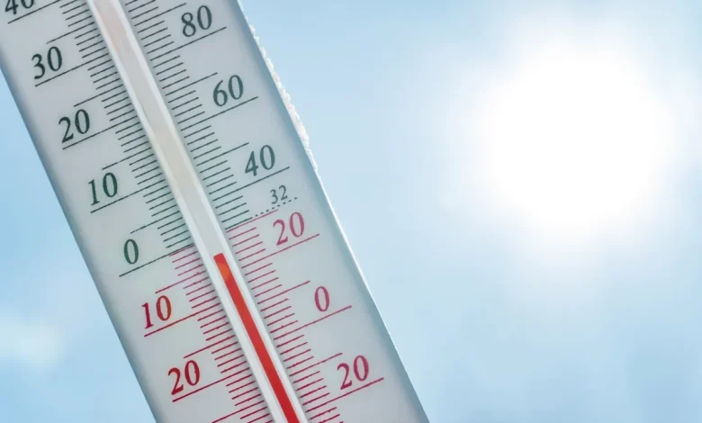
NWS meteorologists issued warnings about the risk of hypothermia and frostbite for people in the Midwest, Great Lakes and Northeast, as abnormally cold temperatures gripped the area on Thursday. In the early morning hours, temperatures dropped below zero in Iowa, with single digits across the Midwest.
“Record cold is possible over the next few days across the Midwest, Ohio Valley, and Mid-Atlantic,” the NWS Weather Prediction Center posted on X with a map of the forecasted lows on Wednesday. “Lows are forecast to drop below zero across parts of the Midwest tomorrow morning. Be sure to dress appropriately to avoid the risk of frostbite/hypothermia and limit time outdoors.”
An outlook from the NWS Climate Prediction Center anticipates that the below-average temperatures are here to stay for the foreseeable future for the Midwest, Northern Plains, South and Northeast. The six- to 10-day and the eight- to 14-day temperature outlooks showed chances for below-average temperatures from North Dakota to Florida and up through Maine.