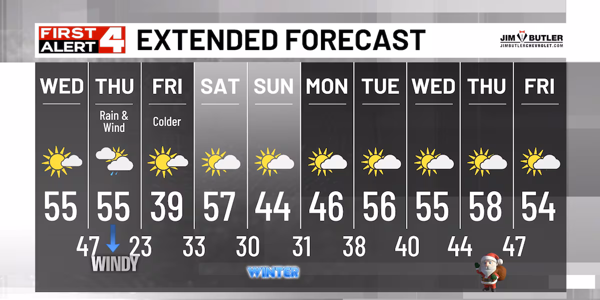
WEATHER HEADLINES
- NEXT 12: Sunny and pleasant; highs in the 60s
- SHORT TERM: Windy with a few showers on Tuesday
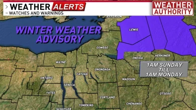
- LONG TERM: Frost possible in a few locations late-week
FORECAST
Here’s WAVE News meteorologist Carson Meredith with your forecast.
LOUISVILLE, Ky. (WAVE) – Our workweek begins with sunny skies and comfortable temperatures.
Highs climb into the mid to upper 60s this afternoon. Clear evening skies become cloudy overnight as another cold front moves into the region. The extra clouds and southerly winds will limit lows to the 40s and low 50s.
It will be windy on Tuesday as the cold front pushes east; wind gusts near 35 mph are possible. Plenty of sunshine is expected tomorrow morning before additional clouds move into the area Tuesday afternoon.
Highs return to the 60s. Mostly clear to partly cloudy skies are expected Tuesday night; most of the cloud cover looks to be in southern Indiana. It will be a chilly night, with lows in the 30s and low 40s.
Some areas outside of the Louisville Metro could see patchy frost Thursday and Friday mornings. Another system brings rain chances this weekend.
Copyright 2025 WAVE. All rights reserved.