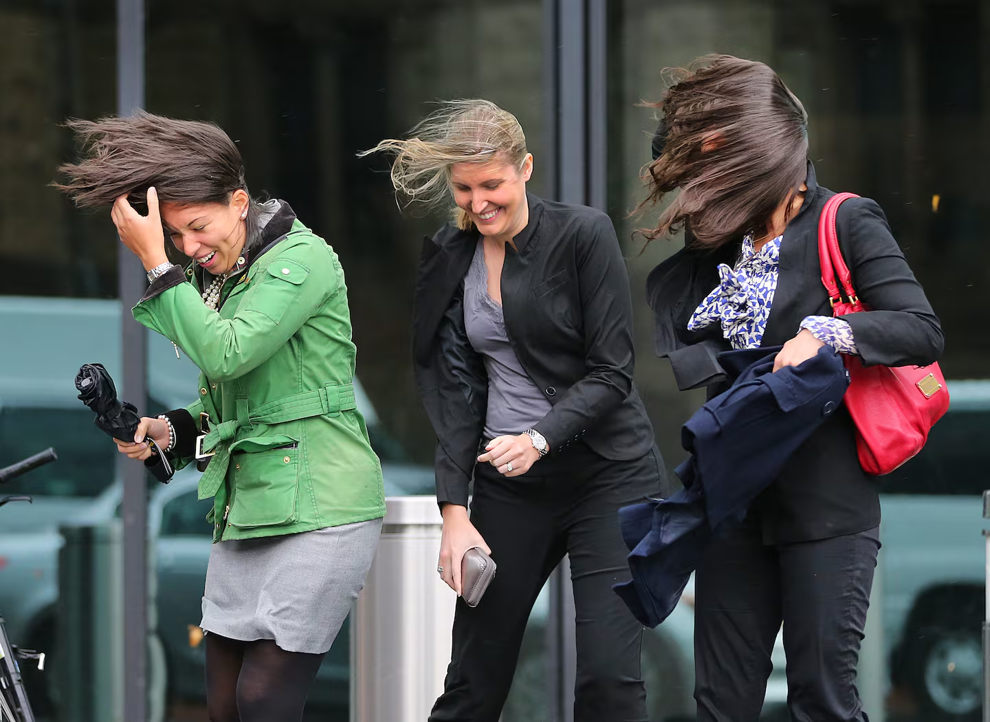
New England faces a blustery Tuesday with wind chills in the 30s

The exiting storm has set up another blustery day across the region. The wind will be the biggest problem on Tuesday, with gusts consistently pushing to 20 and 30 mph, and even higher.
Out-the-door temperatures will be in the low 40s for most of Southern New England, but morning wind chills will be quite cold, feeling more like the low to mid-30s across the region, so you want to make sure you’re bundled up. A large pocket of high pressure to the southwest will help create a steep pressure gradient while funneling in cooler air.
Gusty winds will make it feel much colder on Tuesday morning.Boston Globe
A wind advisory is in effect into the early evening for Boston and the rest of Massachusetts, all of Rhode Island and Maine, and eastern New Hampshire.
Wind gusts across New England on Tuesday will range between 20 to 30 mph.Boston GlobeA wind advisory is in effect Tuesday until early evening, with some gusts possibly reaching 40 to 50 mph.Boston Globe
Skies will be mostly sunny across Boston and the region throughout the day. Boston should see much more sun with a few high clouds possible at times. Ultimately, the thermometer will reach the mid-50s for most of Southern New England, but again it will feel about 5 degrees colder due to the wind.
Highs on Tuesday will range widely in the low to mid-50s.Boston Globe
You can see a few scattered showers pop up across the Northern New England mountains on Tuesday. Other than that, the skies will be mostly sunny up north.
Tuesday will be mostly sunny with a few mountain sprinkles and snow flakes up north.Boston Globe
Next rain (and snow?) chances
This week’s pattern will be quite active, with a zonal jet stream in place, stretching relatively flat across the country. This means that storms will move rather quickly across the country. New England will see its next system, an Alberta clipper, push into the region late Wednesday and linger into Thursday morning. Boston can expect a few light scattered showers and much stronger winds. This Alberta clipper, coming in from the Great Lakes and Central Canada, will make a quick exit by the time most of us get going for the day on Thursday.
Precipitation will be rather light with the storm, but there is a chance for a few backend snow showers to push across Northern New England with colder air in place. We’re not talking inches of snow here, not even an inch. But there might be a coating on the lawns and sidewalks in parts of extreme Northern New England by Thursday morning. A high wind alert has been issued for Wednesday night into early Thursday morning.
Southern and Coastal New England will only see light rain showers.
A quick-moving clipper storm will push through New England late Wednesday and early Thursday.Boston Globe
Greater Boston: Windy with mostly sunny skies. Highs reach the mid-50s. Winds around 15 mph with gusts between 20 and 30 mph. North and South Shores only reach the low 50s.
Southeastern Mass.: Mostly sunny with a stiff breeze. Highs in the mid-50s. Winds between 10 and 15 mph with gusts over 20 mph at times.
Central/Western Mass.: Mostly sunny skies with highs reaching the upper 40s across the Berkshires. To the mid-50s between Worcester and Springfield. Breeze to 15 mph everywhere with a few higher gusts.
Cape and Islands: Seeing windy conditions with mostly sunny skies. Highs in the low to mid-50s with wind gusts between 20 and 30 mph.
Rhode Island: Mostly sunny with a breeze between 10 and 15 mph. Highs to the mid-50s.
New Hampshire: Seeing increasing sunshine with a breeze in place statewide. Highs in the upper 40s and low 50s. A few mountain rain or snow showers could pop up north of Laconia. Winds around 10 to 15 mph.
Vermont/Maine: Seeing decreasing clouds with highs around the low 50s across both states. Portions of interior Maine may only reach the mid-40s. Breeze to 15 mph at times with gusts into the 20s. A few pop-up sprinkles or snow showers are likely over the higher elevations. Precipitation will be very light.
The forecast across Boston for the next seven days.Boston Globe
Sign up here for our daily Globe Weather Forecast, which will arrive straight into your inbox bright and early each weekday morning.
Ken Mahan can be reached at ken.mahan@globe.com. Follow him on Instagram @kenmahantheweatherman.


