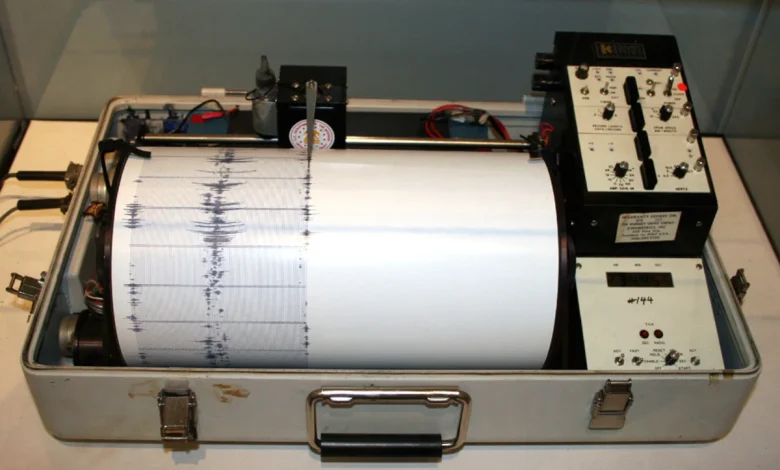
An earthquake rattled the ground near Dover-Foxcroft on Sunday morning.
The magnitude 2 temblor shook the ground at a depth of nearly 6 miles just about 4.3 miles east-northeast of the Piscataquis County seat about 2:52 a.m., according to the U.S. Geological Survey.
Since 1997, there have been more than 150 recorded earthquakes in the state, according to the agency.
The strongest quake in recent memory occurred on Oct. 16, 2012, when a 4.5 magnitude earthquake shook the ground in East Waterboro, according to the Maine Geological Survey. But Maine has felt the impact of much larger earthquakes that hit as far away as Plattsburg, New York, and Quebec City.
Recorded quakes tend to be clustered near Passamaquoddy Bay, the Dover-Foxcroft-Milo area and southwestern Maine. Of course, earthquakes have been felt across Maine, even as far north as the St. John Valley, according to a Maine Geological Survey report.
Every so often quakes happen in clusters. That happened off York Harbor between Jan. 27 and Feb. 2, 2024, when three quakes ranging from magnitude 2 to 3.8. It happened again near Jonesboro between Aug. 11 and Sept. 1, 2022, when about nine earthquakes ranging from magnitude 1.7 to 3 shook the ground. Before that there was the cluster of six quakes east of Cadillac Mountain on Mount Desert Island from Sept. 22 to Dec. 29, 2006, the strongest of which measured a magnitude 4.2.