Lake effect snow warning in place for part of Pennsylvania until Monday afternoon – gusts as high as 45 mph
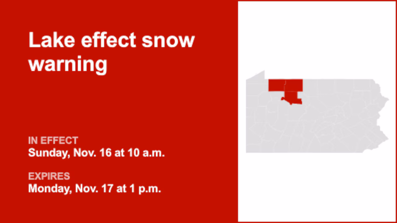
On Sunday at 5:17 a.m. a lake effect snow warning was released by the National Weather Service valid from 10 a.m. until Monday 1 p.m. for Warren, McKean and Elk counties.
“Heavy lake effect snow expected. Total snow accumulations between 5 and 8 inches. Winds gusting as high as 45 mph,” explains the weather service. “The blowing and drifting snow will make it a challenge to keep roads cleared.”
“Roads, and especially bridges and overpasses, will likely become slick and hazardous. Visibilities may drop below 1/4 mile due to falling and blowing snow. The strong winds and weight of snow on tree limbs may down power lines and could cause sporadic power outages,” states the weather service. “Persons should consider delaying travel. If travel is necessary, drive with extreme caution. Consider taking a winter storm kit along with you, including such items as tire chains, booster cables, flashlight, shovel, blankets and extra clothing. Also take water, a first aid kit, and anything else that would help you survive in case you become stranded. During lake effect snow, the weather varies from bands of locally heavy snow to dry weather just a few miles away. Visibilities can also vary greatly. Be prepared for rapid changes in weather, visibility, and road conditions.”
If you purchase a product or register for an account through a link on our site, we may receive compensation. By using this site, you consent to our User Agreement and agree that your clicks, interactions, and personal information may be collected, recorded, and/or stored by us and social media and other third-party partners in accordance with our Privacy Policy.