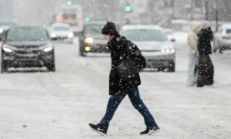
More winter weather passed through Waterloo Region on Monday morning after a mild and windy weekend, but areas to the west endured more significant blasts of snow.
Road surfaces were slick early Monday morning as a few centimetres of snow fell overnight, and lake effect bands of weather will continue to bring flurries to the region throughout the day before clearing off into sun and cloud.
Expect snow-covered surfaces and ice on morning drives, as wind chills mean temperatures feel like -10 C and a high of just 2 C.
Snow squall warnings are in effect for Woodstock, Stratford, and London on Monday morning as bands of lake effect snow continue to pelt those areas.
“We’re kind of sandwiched between the worst of these snow squalls,” said 570’s Weather Specialist Denise Andreacchi.
As much as 40 cm of snow is expected to fall in areas west of Waterloo Region before the system coming off of Lake Huron passes through.
Temperatures are expected to warm as we progress through the week, with highs of 9 C and showers in store for Friday.