Hazardous marine conditions and rip currents continue through the weekend

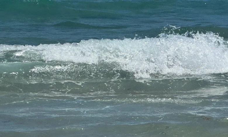
West Palm Beach, FLA. (WPEC) — Dangerous marine conditions will persist through late Saturday night in the Gulf and into early Sunday morning in the Atlantic. A high risk of rip currents remains in effect for Atlantic beaches throughout the weekend, along with hazardous surf conditions. Beachgoers are urged to stay out of the water during these dangerous conditions and follow all local beach safety advisories.
Breezy conditions will continue today as strong high pressure shifts east of the region. Wind gusts of 25 to 30 mph are expected this afternoon, gradually easing by Sunday when gusts decrease to 15 to 20 mph.
Scattered showers possible as temperatures begin to rebound
As winds turn east-northeasterly today and Sunday, low-level moisture will gradually increase. This may lead to widely scattered showers this afternoon and early evening, mainly along and south of Alligator Alley. Additional isolated showers will be possible Sunday, especially along the coast and across the far southern portion of the peninsula.
Despite the chance for a few showers, most locations will remain dry. Temperatures will continue a warming trend, with highs today reaching the upper 70s to lower 80s. Overnight lows will fall into the low to mid-60s around Lake Okeechobee, while the east coast metro areas stay warmer in the upper 60s to low 70s. Sunday’s highs will climb into the low to mid-80s.
Mainly dry pattern returns next week with another cool-down late
A frontal boundary stalled across northern Florida early next week will keep most rain chances north of South Florida. Aside from occasional coastal showers, conditions will remain mostly dry through midweek.
Another cold front is expected to move through midweek and push into the area late in the week. While little rainfall is expected with this front, it will bring a return to more seasonable temperatures and lower humidity.
Highs early next week will remain in the low to mid-80s, with overnight lows in the 60s and 70s. After the front passes, temperatures will cool slightly, with highs in the upper 70s to lower 80s and lows dropping into the 50s and 60s.


