Warm-up until midweek cooldown arrives

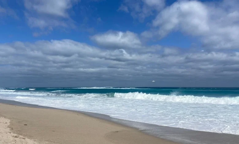
West Palm Beach, FLA. (WPEC) — Hazardous marine conditions will continue through this morning for Gulf waters and into early this afternoon for Atlantic waters. A high risk of rip currents remains in place for Atlantic beaches through Monday, creating dangerous swimming conditions. Beachgoers are strongly urged to stay out of the water and follow all posted beach safety warnings.
Winds will slowly ease compared to the past few days, but occasional gusts of 20 to 25 mph will still be possible, especially along the Atlantic coast.
A warm front will lift north across South Florida today, bringing scattered light rain showers, especially along the east coast metro areas. Inland communities and Southwest Florida will see lower rain chances. Rainfall totals are expected to remain light, with most areas receiving a tenth of an inch or less.
High temperatures this afternoon will range from the lower 80s along the east coast to the mid-80s across Southwest Florida. Coastal showers may linger into the evening hours, while inland areas turn drier overnight. Low temperatures tonight will remain mild, dropping into the lower 60s around Lake Okeechobee and the lower 70s across Southeast Florida.
By Monday, the frontal boundary will stall across northern Florida, limiting rain chances across South Florida. A few widely scattered coastal showers will still be possible, but much of the region will remain dry. High temperatures will once again reach the lower 80s along the east coast and the mid-80s across Southwest Florida.
Warmest day arrives Tuesday before midweek cooldown
Tuesday is expected to be the warmest day of the week as southerly winds strengthen ahead of the next cold front. Highs will climb into the mid to upper 80s, with scattered showers possible late in the day. Most of Southeast Florida is expected to stay dry.
A cold front will cross the area early Wednesday with little rainfall but will bring a noticeable drop in humidity and slightly cooler temperatures. Highs for the rest of the workweek will settle into the low to mid-80s, with overnight lows cooling into the 50s and 60s by midweek and beyond.


