People in northwest England took to social media on Wednesday night to report an earthquake, the second in the region in as many months.
The magnitude 3.3 quake was centred northeast of the seaside town of Morecambe at Carnforth, according to the US Geological Survey (USGS). However, the British Geological Survey said the epicentre was immediately offshore of the town of Silverdale, located on the Lancashire county boundary with Cumbria.
The earthquake occurred at 11.23pm at a depth of 3km, shallow enough to be felt across parts of both counties.
One Lancaster resident, Professor Adam Taylor, wrote on X: “Definitely felt this #earthquake in north Lancaster. We live near the West Coast Main Line and initially thought the rumbling was a train but then felt the shaking.”
Others in Carnforth, Milnthorpe, Blackpool, Fleetwood, South Lakes, Ulverston, Kirkby, Lytham Saint Anneʿs and Arnside also reported feeling shaking and hearing a rumbling noise. The USGS had received almost 100 ‘felt it’ reports by shortly after midnight on Thursday morning.
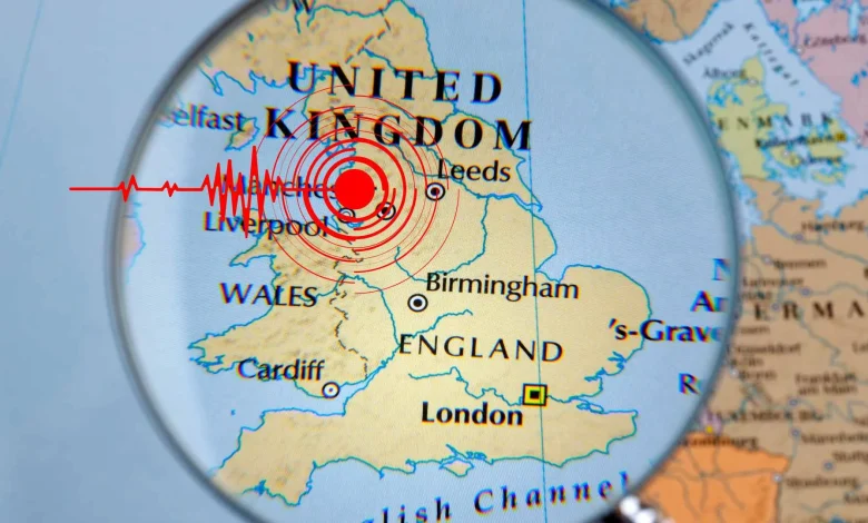
The epicentre of Wednesday night’s earthquake. Main image from USGS, Inset from BGS
Earthquakes in Britain are a regular occurrence. Lancashire has experienced smaller quakes in recent years, including in Preesall and Blackpool. More recently, on 9 October, a magnitude 1.3 earthquake occurred a few kilometres off the coast of Southport, a seaside town south of Blackpool.
The most powerful quake ever recorded on mainland Britain occurred in July 1984, when a magnitude 5.4 earthquake struck the Llŷn Peninsula in North Wales. That event was felt across Ireland’s east coast, as well as throughout England.
Share this WeathÉire story:
Copied