4 Dec 2025, 08:47 Updated: 2h ago
4 Dec 2025, 08:47 | Updated: 2h ago
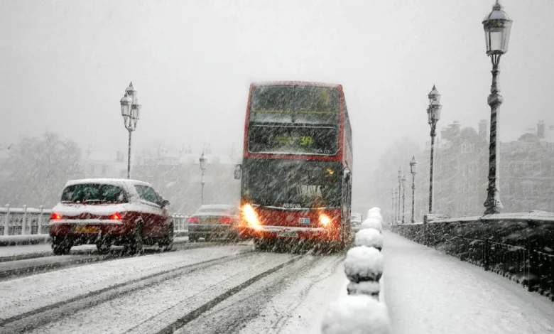
Snow blizzard on Battersea Bridge, Chelsea, London, UK.
Picture:
Alamy
The UK could be battered by snow this week as cold and wet weather continues across the country.
According to forecaster ECMWF, weather systems moving in from the Atlantic could bring a blanket of snow to parts of the UK on Friday.
While most areas should expect rain, the forecaster warns some parts of North Wales and the Lake District could see a flurry of snow.
The Met Office, for its part, has not predicted any snow this week, but warned of further heavy rain across the country.
Read more: Met Office rebukes ‘seven inches of snow’ headlines – and gives more realistic UK forecast
Post box in the snow UK.
Picture:
Alamy
Its forecast said: “Further spells of rain and showers will move across the country. A risk of fog patches for many on Friday morning. Temperatures around the seasonal average.”
Looking ahead to next week, the forecaster said: “Likely a continuation of the unsettled conditions seen for much of the week with further showers or some longer spells of rain affecting much of the country.
“On Saturday a frontal zone is expected to move east and this could bring a spell of locally heavy rain, particularly on hills exposed to the strong southerly winds.
“Behind this turning brighter but with showers, some of which could be heavy and thundery. Its possible we could then see yet more organised, locally heavy rain move across most areas on Monday.
“Generally temperatures will be close to average, but it will likely feel quite chilly in the often wet and breezy conditions. However we are unlikely to see much in the way of frost or fog in this unsettled spell.”