An arctic air mass has descended into the US, and a disrupted polar vortex will keep the nation in the freezer at times deeper into December.
More than 200 million people will wake up to freezing temperatures this week as the coldest air of the season spills across the Plains, Midwest, Great Lakes and into the Northeast in the wake of the latest winter storm to sweep across the country.
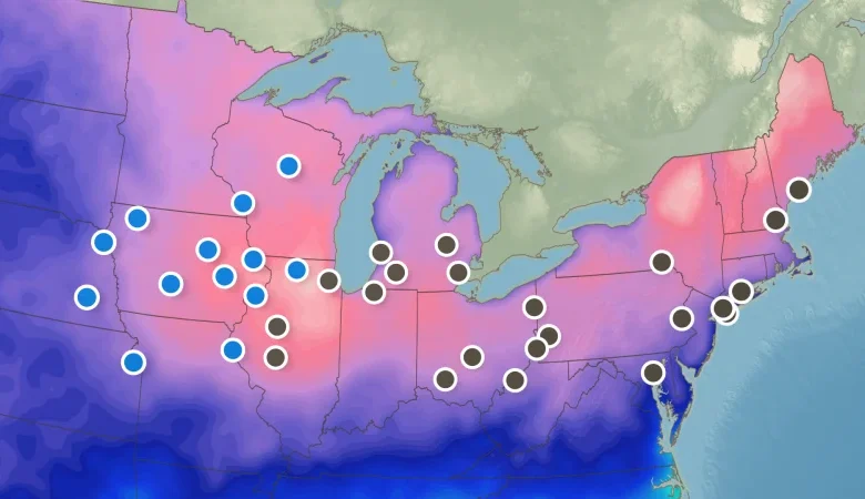
This widespread temperature plunge tied to the polar vortex puts dozens of daily cold records in play.
Arctic air has already dropped into the Plains, Midwest and Great Lakes and plunged temperatures well below zero. Dangerous snow squalls could accompany the blast of cold air as it slices across the Northeast Thursday, especially in upstate New York and central and northern New England.
Snow squalls are brief bursts of heavy snow that can create icy roads and a whiteout in an instant. They are an extreme danger to travelers and have historically caused vehicle crashes, including multi-car pileups.
WPC has initiated Key Messages due to the potential for snow squalls along a strong arctic cold front tomorrow (Thursday). Snow squalls can result in a rapid drop in visibility and create icy roads very quickly, which can be hazardous to motorists. ❄️ pic.twitter.com/llMEJi664d
— NWS Weather Prediction Center (@NWSWPC) December 3, 2025
Low temperature reached the double-digits below zero as far south as northern Iowa Thursday morning. A few locations have broken or tied daily record lows:
-
Aberdeen, South Dakota: minus 18 degrees (tie)
-
Spencer, Iowa: minus 17 degrees
-
Waterloo, Iowa: minus 10 degrees
-
Sioux City, Iowa: minus 9 degrees (tie)
-
Cedar Rapids, Iowa: minus 8 degrees
Afternoon temperatures across much of the Midwest will be stuck in the teens — 20 to 30 degrees lower than normal for early December. Highs rising only into the lower to middle teens might be the coldest on record for December 4 in Milwaukee and Green Bay, Wisconsin, and Des Moines, Iowa.
Records could fall from Illinois to the East Coast on Friday morning as well. Chicago could drop below its daily low temperature record of 4 degrees while South Bend, Indiana, approaches its record of 4 degrees – last set in 1899. Low temperatures will be in the teens across Pennsylvania, which would break daily records in multiple cities.
Friday morning will be the coldest day since early March in New York City with a low temperature of around 20 degrees. Records could fall for the city’s John F Kennedy and LaGuardia airports. Wind chills will sting.
The cold and winter storms hitting the US this week – and forecast to occur over the next couple of weeks – can be tied to the disruption of the polar vortex that started in late November, researchers tell CNN.
The polar vortex is a circular current of strong winds high in the atmosphere over the Arctic that keeps brutally cold air locked up in that region. Recently, though, it weakened and slid southward towards the midlatitudes, spilling cold, Arctic air into heavily populated areas.
This can create stormier conditions, said Andrea Lopez Lang, a meteorologist at the University of Wisconsin-Madison, as that cold air from up north collides with relatively warmer air.
And the weak polar vortex also means a wavier jet stream. These are the wind currents that flow west-to-east across the Northern Hemisphere. A wavy jet stream can give people weather whiplash, said Judah Cohen, a meteorologist at MIT.
Over the rest of December, we can expect frequent oscillations between milder-than-average conditions and frigid temperatures as storms move through.
However, Lopez Lang cautioned this polar vortex event isn’t the only factor behind those upcoming temperature fluctuations. “It’s definitely contributing, but it’s not the whole story,” she said.
Even with some fluctuations of milder air, the cold could be with us well into December.
Another shockwave of cold could arrive in North America by mid-December, as the polar vortex becomes “more stretched out” over the continent, said NOAA research meteorologist Amy Butler. Other experts agreed, saying they expect temperature outlooks for the end of the month to trend colder, particularly in the eastern US.
We are still about three weeks away from the official start of winter, but Mother Nature is off to quite a head start.