Weather Headlines
- NEXT 9 HOURS: Mostly cloudy and warmer
- SHORT TERM: Snow moves in, travel impacts
- LONG TERM: Temperatures rise and fall
Latest Forecast
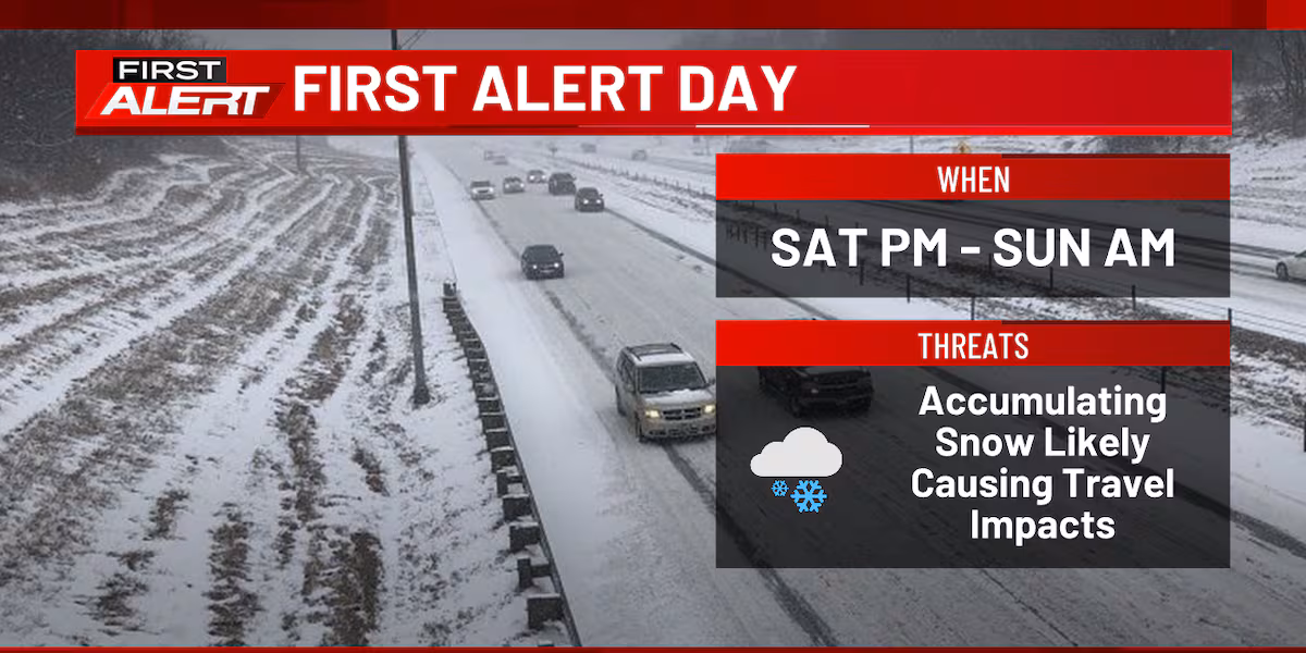
CEDAR RAPIDS, Iowa (KCRG) – Your First Alert Storm Team has designated today and tomorrow as First Alert Days due to snow that will impact travel.
A First Alert Day is in place for late Saturday into early Sunday.(KCRG)
Today, the skies will stay cloudy with highs in the upper 20s and low 30s. Winds will be calm out of the east-southeast at 5 to 15 mph.
Current winter weather alerts from the National Weather Service.
(KCRG)
Snow will begin tonight, with winds increasing to 10 to 20 mph.
The latest satellite and radar data.
(KCRG)
The falling snow will be light and blown around, forming snowdrifts. Snow will continue into early Sunday, creating hazardous travel conditions with slick spots.
Snowfall Forecast – Forecast snowfalls for Saturday night through Sunday morning(KCRG)
Most of the TV9 viewing area can expect between 3 and 5 inches of accumulation. Our northeast zone could see totals up to 7 inches, while southeast locations could see at most 3 inches.
If you plan to travel tonight through tomorrow, allow extra time and maintain a safe distance from other vehicles. Also, give space to DOT crews as they work to clear the roads. Find the latest road conditions here.
Slick spots may persist through Sunday, as temperatures in the afternoon will only reach the upper teens and low 20s in the afternoon.
5 Day Wind Forecast – Breezy conditions will create blowing snow on Sunday(KCRG)
Winds will shift to a northerly flow but remain breezy at 10 to 20 mph during the day, then calm overnight.
Monday morning will see temperatures at or below 0 with wind chills between -5 and -15 degrees. The skies will be partly cloudy, with temperatures rising to the mid 20s.
Warmer temperatures are expected through midweek, with highs in the low to mid 30s on Tuesday and Wednesday. A mix of rain and snow is forecasted for Wednesday.
Temperatures will then decline through the weekend.
Copyright 2025 KCRG. All rights reserved.