SARASOTA, Fla. (WWSB) – A line of thunderstorms is sliding in from the Gulf this evening, bringing the Suncoast a round of downpours, gusty winds, and even a small chance for a brief tornado. Most of us will just see rain and occasional lightning, but a couple storms could pack a punch.
Here’s what to expect as we head through tonight.
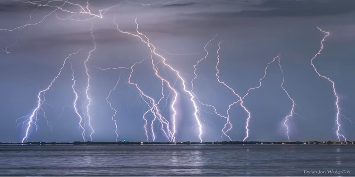
The Storm Prediction Center has the Suncoast under a Level 1 or Marginal Risk for severe thunderstorms this evening.(NOAA)
What’s happening now
A broken line of thunderstorms is organizing over the eastern Gulf and pushing steadily toward Sarasota and Manatee counties. The atmosphere isn’t overly unstable, but we’ve got just enough warmth, moisture, and wind shear to support a few stronger storm cells as the line moves ashore.
The Storm Prediction Center continues a Marginal Risk (Level 1 of 5) for our area. That means isolated severe storms are possible, not widespread, but we’re watching for:
• Wind gusts 50–60 mph
• A brief, quick-forming tornado
• Heavy rain reducing visibility
• Lightning and pockets of small hail
There are no watches in effect right now, but the setup remains supportive of a low-end severe window through mid-evening.
Timing the storms
• 5 PM – 7 PM: The leading edge arrives along the coast. Expect increasing rain and some stronger cells near the beaches and I-75.
• 7 PM – 10 PM: This is the peak impact window. If any warnings are issued, they would most likely happen during this period.
• 10 PM – 2 AM: Leftover showers and embedded thunderstorms drift through. The severe threat fades after midnight.
Most of us will get a soaking, and a few neighborhoods may see stronger gusts.
Behind the storms: Here comes the cool-down
Once the front pushes through overnight, winds turn north and cooler, drier air pours in.
• Monday morning: A few lingering showers, mainly early
• Monday afternoon: Clearing skies, breezy, highs in the mid 70s
• Monday night: Sharp cooling, lows dropping into the lower 50s
• Tuesday: Sunny and crisp with highs in the low 70s
It will finally feel like early December again.
How to stay weather-aware this evening
If you’re heading out for dinner or driving this evening, showers and lightning can arrive quickly. Keep your phone handy, make sure alerts are enabled, and if a warning is issued for your neighborhood, move indoors immediately.
We’ll be tracking the line every step of the way tonight on ABC7 and inside the First Alert Weather App. I’ll see you on-air with live radar updates through the evening.
Copyright 2025 WWSB. All rights reserved.