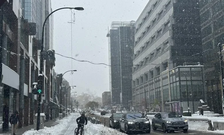
A heavy snow warning is in effect for the Montreal area, with 15 to 20 centimetres expected from this morning into Thursday evening. Environmemt and Climate Change Canada (ECCC) says strong winds on Thursday will create blowing snow, sharply reducing visibility and making travel difficult. The agency warns of significant impacts on rush-hour traffic and urges motorists to allow extra time.
“There is a yellow warning in effect right now,” said Peter Kimbell, meteorologist for ECCC. “It’s snowing already but heavy snow will start around noon, continue through Thursday morning, much lighter tomorrow. More significant snowfall today, tonight, taper off tomorrow.”
Snow continues through Wednesday, with 5 to 10 centimetres during the day and another 5 to 10 centimetres overnight as winds shift west at 20 km/h.
On Thursday, another 2 to 4 centimetres is forecast along with westerly winds gusting to 60 km/h. Temperatures will fall to minus -9 Celsius in the afternoon, with wind chills near minus -18 C.
Periods of snow linger Thursday night, followed by calmer but cold conditions. Friday will bring a mix of sun and cloud with a high of minus -5 C.
“Winds will pick up Thursday morning, blowing snow is expected on Thursday,” warned Kimbell.
Saturday is expected to be cloudy with a 60 per cent chance of flurries and a high of minus -2 C, with snow returning Saturday night.
Flurries continue Sunday, with a high of minus -7 C, before skies clear and temperatures fall to minus -16 C overnight. Monday will be sunny with a high of minus -10 C, and Tuesday will bring a mix of sun and cloud with a high of minus -6 C.
ECCC says the likelihood for a white Christmas is high.
“Snow will likely stay on the ground for Christmas but still tricky to say, but probability is high for a white Christmas,” said Kimbell.