This squall will also weaken overnight but may redevelop north of Barrie Friday afternoon, with local snowfall amounts of 20-40+ cm possible.
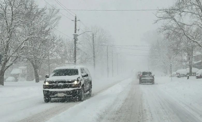
Snow squalls are narrow bands of intense snowfall, meaning some areas can see clear skies while others experience heavy snow. Travellers on Highway 400 north of Toronto should prepare for disruptions.
By Friday evening, squalls will lift north and dissipate. A new system will bring widespread snowfall overnight into Saturday, with 2-5 cm expected.
DON’T MISS: Canada’s December outlook holds a strong, cold start to winter
White or green Christmas? It could be a nail biter forecast
Milder weather is expected to settle in across the region mid to late next week. However, uncertainty remains for the weather pattern leading up to Christmas. A surge of mild Pacific air may bring the potential for a significant December thaw. However, lingering Arctic air could counter this, creating an active pattern with fluctuating temperatures.
For areas outside the snow belts, whether Christmas will be white or green will likely depend on the paths of one or two weather systems in the final days before December 25. The precipitation type—rain, snow, or a wintry mix—could make all the difference.
Looking ahead, a more stable, colder pattern is anticipated to return after Christmas and continue into January.
WATCH: Heavy, wet snow fills Ontario streets ahead of colder air
Stay tuned to The Weather Network for the latest forecast updates in Ontario.