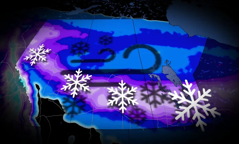
Snow spreads into southern Saskatchewan by late morning, intensifying into the afternoon with snowfall rates of 2–3 cm/h. Gusts of 40–60 km/h will cause blowing snow, with heavier impacts along major highways by evening. Southern Saskatchewan may initially face freezing rain along the Trans-Canada Highway, creating hazardous road conditions, as well.
Southern Manitoba will see snow by Wednesday afternoon, becoming heavy by evening. Though snow tapers by Thursday morning, wind gusts up to 70 km/h will persist, resulting in blowing snow and difficult travel during the morning commute.
Winds of 110+ km/h could impact southern Alberta, Saskatchewan, and Manitoba from Wednesday afternoon into the night.
Winter storm watches and snowfall warnings are in effect. Travel could become dangerous, with blizzard-like conditions likely in southern Saskatchewan and Manitoba from Wednesday evening to early Thursday.
SEE ALSO: ECCC launches new colour-coded Canadian weather alerts
Wild temperature rollercoaster continues, brace for a flash freeze
Southern parts of the Prairies will experience dramatic temperature swings this week. On Wednesday, temperatures will rise well above freezing, with some areas reaching double digits, while regions north of the Arctic boundary will stay in the minus teens and 20s. A flash freeze is expected Wednesday night as Arctic air pushes south again.
DON’T MISS: La Niña to continue into 2026, leaving thumbprint on winter weather
Another brief warm-up is forecast for late Thursday, followed by a return to colder conditions. Areas near the U.S. border will continue to see highly variable temperatures into next week.
WATCH: Extreme winds flip tractor-trailers and ignite wildfire in Alberta
Stay with The Weather Network for the latest on conditions across the Prairies.