More chilly days and night are in store for Adelaide residents as the cooler end to spring is set to continue.
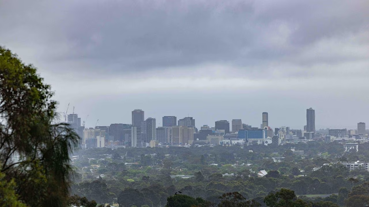
South Australians woke up to low cloud cover and fog around with Adelaide set to hit 21C on Monday, with the chance of showers throughout the day.
With just 12 days left in November, Adelaide has yet to hit 30C all month – the warmest day so far was November 1 with a maximum of 29.9C.
However, just two days later Adelaide had its coldest day this month with just a max of 15.4 and since then, temperatures in the teens and low to mid 20s have been the norm.
Bureau of Meteorology meteorologist Mark Anolak told FIVEAA while the cooler spring weather was not unusual, not having days spike over 30C was.
“We are getting late in the season … it’s not unheard of to have these cooler temperatures late in the season, it’s quite unusual that we don’t see temperatures above 30 somewhere in November,” he said.
“It’s certainly been a cool spell and it looks like it will continue for some time yet.
From Tuesday, the Bureau of Meteorology reports a ridge of high pressure lies over the north and west directing a broad southwest to southerly flow across SA waters.
Troughs are forecast to pass over the southeast today and Wednesday.
Adelaide is set for a top of 21C on Tuesday and temperatures are set to remain similar for the rest of the week with 21C the predicted top for Wednesday and Thursday, before jumping to 25C on Friday.
The weekend is set to warm up a little bit with 27C and 29C the predicted tops for Saturday and Sunday respectively, with the chance of rain returning on Saturday.