MARQUETTE, Mich. (WLUC) -Widespread snow will move in overnight through tomorrow morning. It comes with a quick-moving clipper system. Behind it, lake effect snow develops along the northwest wind belts and lingers through Thursday. Snowfall amounts will range from 3-6″ in the Western and Eastern U.P., with most areas getting lighter amounts between 1-3″.
TV6 First Alert Weather App>TV6 Apps for iOS and Android devices
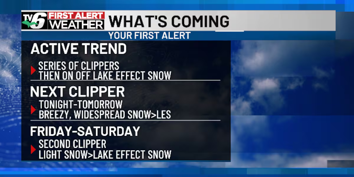
The pattern remains active this week and weekend with a series of clipper systems. Another one swings by on Friday into Saturday with light snow. Then, more lake effect snow through Sunday.
Temperatures remain below normal for the foreseeable future. This is due to an upper-level trough in the jet stream.
Today: Morning snow in the Keweenaw. Otherwise, mostly cloudy
>Highs: Upper teens inland, low to mid 20s along shorelines
Wednesday: Morning widespread snow followed by lake effect snow
>Highs: Low 20s west, upper 20s east
Thursday: Mostly cloudy with lake effect snow and colder
>Highs: Low teens west, upper teens east
Friday: Light snow and cloudy
>Highs: Low to mid 20s
Saturday: Lake effect snow showers
>Highs: Upper teens to low 20s
Sunday: Lake effect snow, mainly the Eastern U.P.
>Highs: Low teens west, upper teens east
Monday: Light snow showers
>Highs: Upper teens to low 20s
The video above will feature the TV6 livestream until staff can clip the corresponding story, if available, from broadcasts or other TV6 content. You can subscribe to our YouTube page or download TV6+ to stream the latest local news and weather.
Copyright 2025 WLUC. All rights reserved.