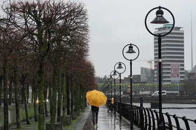
A person holding an umbrella walks along the quays on a wet and windy afternoon in Dublin. Photo: Brian Lawless/PA
It will be a week of seasonably wet and windy weather with Met Éireann forecasting an unsettled period.
The good news is temperatures will not be quite as cold and there are some milder days ahead.
This morning will start off cold, dry and bright for most and there will be frost in some areas. It will stay dry and sunny for most of the day, though areas near the west and southwest coasts will see rain and drizzle in the evening.
Highest temperatures today will be between 6 and 10C.
Tonight will also be dry at first, before cloud builds up and rain and drizzle spreads across the country by tomorrow morning. It will be another cold night at first with lows of 1 to 4C in the east, though it will become milder as that cloud builds up in other areas.
Conditions will take a turn for the worse from tomorrow, when it will be dull with widespread rain in the morning, followed by patches of drizzle later in the day.
It will feel milder again with highest temperatures of 10 to 13C.
A person holding an umbrella walks along the quays on a wet and windy afternoon in Dublin. Photo: Brian Lawless/PA
Today’s News in 90 Seconds – Tuesday, November 25
Met Éireann’s outlook for the coming days shows it will continue to be rainy, and there will be milder temperatures before it turns cooler towards the end of the week.
More rain and drizzle will spread across the country on Wednesday night, and there will be much milder overnight temperatures of 9 to 12C.
Thursday will see rain spread across the country at first, but there will be a mix of sunshine and showers once it clears from the afternoon. Highest temperatures will be between 12 and 14C.
There will be widespread showers on Friday, turning heavy at times with a possibility of some hail and thunder. Temperatures will begin to fall again, to highs of 7 to 10C.